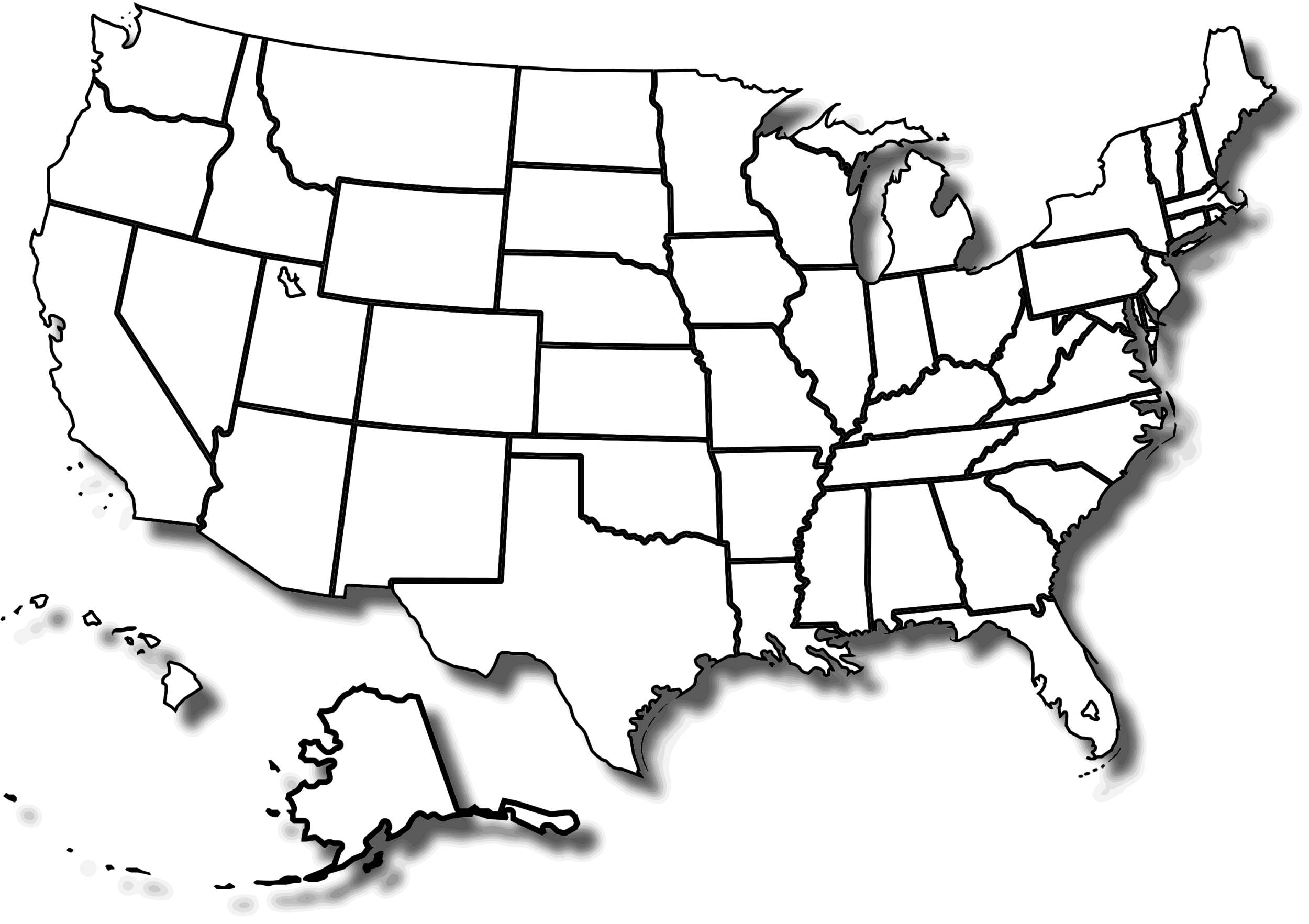
Printable Large Attractive Cities State Map of the USA

Printable Large Attractive Cities State Map of the USA is the Map of United States of America. You can also free download United States of America Map images HD Wallpapers for use desktop and laptop. Click Printable Large Map
The United States goes across the middle of the North American continent from the Atlantic Ocean on the east to the Pacific Ocean on the west. It borders Canada to its north, and Mexico to the south. The USA Map With States And Cities on the southeast coast is lapped by the Gulf of Mexico, where the Mississippi flows into the sea.
Kids can color on the Printable Large Attractive US Map With Cities and label the Great Lakes (Lake Superior, Lake Michigan, Lake Erie, Lake Ontario, and Lake Huron), the Great Salt Lake, Lake Okeechobee, and the Everglades in Florida.
America’s largest city is New York City, by far. The city itself has more than twice as many people as Los Angeles, and the New York-Newark urban area is the country’s only megacity.
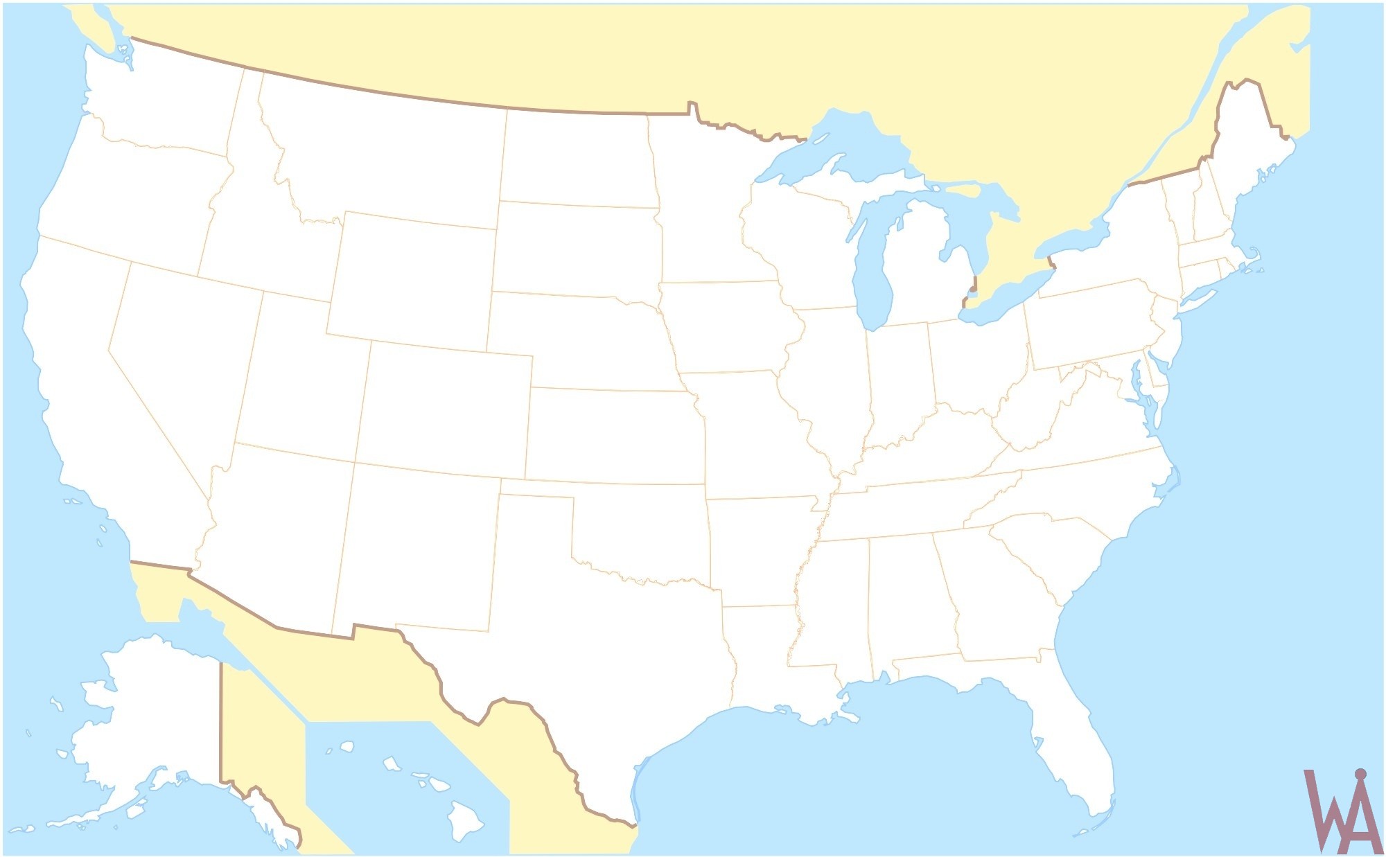
Free Large Us Map With States And Major Cities
States and Major Cities Maps are very useful for travelers, teachers, students, and other kinds of research. Here you will find US Map With Major Cities, Large USA Map With States and Cities, and other all kinds of printable maps of the United States.
State Map of the USA

State Capitals and Largest Cities
The following table lists the capital and largest city of every state in the United States.
| State | Capital | Largest city |
|---|---|---|
| Alabama | Montgomery | Birmingham |
| Alaska | Juneau | Anchorage |
| Arizona | Phoenix | Phoenix |
| Arkansas | Little Rock | Little Rock |
| California | Sacramento | Los Angeles |
| Colorado | Denver | Denver |
| Connecticut | Hartford | Bridgeport |
| Delaware | Dover | Wilmington |
| Florida | Tallahassee | Jacksonville |
| Georgia | Atlanta | Atlanta |
| Hawaii | Honolulu | Honolulu |
| Idaho | Boise | Boise |
| Illinois | Springfield | Chicago |
| Indiana | Indianapolis | Indianapolis |
| Iowa | Des Moines | Des Moines |
| Kansas | Topeka | Wichita |
| Kentucky | Frankfort | Louisville |
| Louisiana | Baton Rouge | New Orleans |
| Maine | Augusta | Portland |
| Maryland | Annapolis | Baltimore |
| Massachusetts | Boston | Boston |
| Michigan | Lansing | Detroit |
| Minnesota | St. Paul | Minneapolis |
| Mississippi | Jackson | Jackson |
| Missouri | Jefferson City | Kansas City |
| Montana | Helena | Billings |
| Nebraska | Lincoln | Omaha |
| Nevada | Carson City | Las Vegas |
| New Hampshire | Concord | Manchester |
| New Jersey | Trenton | Newark |
| New Mexico | Santa Fe | Albuquerque |
| New York | Albany | New York City |
| North Carolina | Raleigh | Charlotte |
| North Dakota | Bismarck | Fargo |
| Ohio | Columbus | Columbus |
| The Oklahoma | Oklahoma City | Oklahoma City |
| Oregon | Salem | Portland |
| Pennsylvania | Harrisburg | Philadelphia |
| Rhode Island | Providence | Providence |
| South Carolina | Columbia | Columbia |
| South Dakota | Pierre | Sioux Falls |
| Tennessee | Nashville | Memphis |
| Texas | Austin | Houston |
| Utah | Salt Lake City | Salt Lake City |
| Vermont | Montpelier | Burlington |
| Virginia | Richmond | Virginia Beach |
| Washington | Olympia | Seattle |
| West Virginia | Charleston | Charleston |
| Wisconsin | Madison | Milwaukee |
| Wyoming | Cheyenne | Cheyenne |

 Free USA Map With States And Cities

This Printable Large Attractive United States Map With Cities highlights international and state boundaries, important cities, airports, roads, rivers, and major visitor attractions. The USA Has 50 states and a federal district, plus five self-governing territories, and many possessions.
US Map With Cities
States and Major Cities Maps are very useful for travelers, teachers, students, and other kinds of research. Here you will find US Map With Major Cities, Large USA Map With States and Cities, and other all kinds of printable maps of the United States.
Attractive State Map of the USA
This Printable Large Attractive Cities State Map of the USA also is a great guide for spotting the natural wonders in the US, ranging from the Niagara Falls to the Redwood National Forest, and Yosemite National Park to Yellowstone National Park.
Printable Large Map
This Printable Large Attractive Cities State Map of the USA highlights international and state boundaries, important cities, airports, roads, rivers, and major visitor attractions. From NASA’s Headquarters to the Statue of Liberty, the Golden Gate Bridge, to Hoover Dam, this Attractive Cities State Map of the USA points out the most popular attractions.
Reference:


