Map of South Carolina | Political, County, Geography, Transportation, And Cities Map

Map of South Carolina | Political, County, Geography, Transportation, And Cities Map is the Map of South Carolina. You can also free download Map images HD Wallpapers for use desktop and laptop. Click Printable Large Map
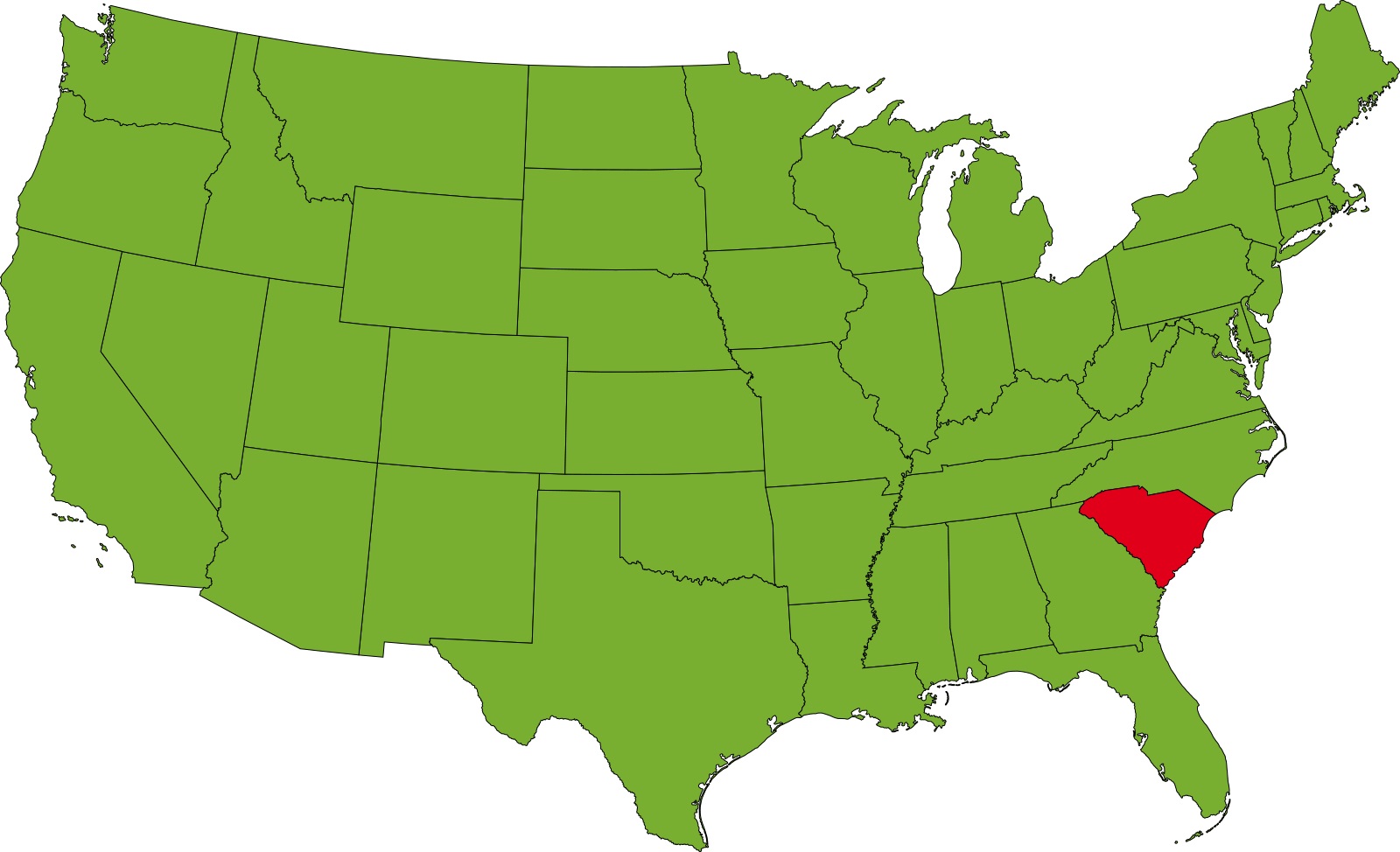
South Carolina is the US state in the southeastern region of the United States. Map of South Carolina shares borders with Georgia, North Carolina, and the Atlantic Ocean. It is the 40th largest state in the United States with covering an area of 32,020 square miles. The state comprised 5 million people (2018 est.), which makes it the 23rd most populated state of the country. Columbia is the state capital of South Carolina, while Charleston is the largest city of the state.
Many Native American tribes inhabited the region before the arrival of the Europeans. England claim and settled the region permanently in 1663. In 1729, South Carolina and North Carolina were officially separated. South Carolina joined the Union on 23 May 1788 as the 8th state. It was one of the original 13 founding states.
South Carolina Facts
- Capital: Columbia
- Population: 5 million
- Nickname: The Palmetto State
- Key Cities: Charleston, Myrtle Beach, Columbia, Greenville, Spartanburg, Florence
- Date admitted to the Union: Friday, May 23, 1788
- Size: 32,020 sq. miles
- Lowest point: the Atlantic Ocean at sea level
- Highest point: Sassafras Mountain at 3,560 ft.
- Counties: 46
Political Map of South Carolina

South Carolina is located in the southeastern region of the United States. Political Map of South Carolina shares borders with Georgia, North Carolina, and the Atlantic Ocean. North Carolina is located north of the state, to the southeast by the Atlantic Ocean, and to the southwest by Georgia across the Savannah River. The state’s nickname is “The Palmetto State.” Columbia is the state capital of South Carolina, while Charleston is the largest city of the state.
County Map of South Carolina

The County Map of South Carolina is made up of 46 counties. Each County is administered by the County seat. Charleston County is the largest county in South Carolina by total land and water area. It has a total area of 1,358 square miles (3,520 km2). The most populous county is Greenville County, with a population of 498,776. The least populous county is McCormick County with 9,958 residents.
Geography Map of South Carolina

South Carolina is the US state in the southeastern region of the United States. It shares borders with Georgia, North Carolina, and the Atlantic Ocean. It is the 40th largest state in the United States with covering an area of 32,020 square miles. The highest point in the state is Sassafras Mountain at 1,085 m (3,560 ft), located near the South Carolina – North Carolina border.
The Geography Map of South Carolina features different regions.
- The narrow Coastal Zone
- The Outer Coastal Plain
- Inner Coastal Plains (or Upper Coastal Plain)
- The ‘fall line‘
- Hilly Piedmont
Some of the major lakes are Lake Marion, Lake Strom Thurmond, Lake Moultrie, Lake Hartwell, Lake Murray. Major rivers in South Carolina are the Savannah River, The (Great) Pee Dee, The Catawba River, The Saluda River.
Transportation Map of South Carolina
![]()
The Transportation Map of South Carolina has the fourth largest state-maintained system in the country. It consisting of 11 Interstates, numbered highways, state highways, and totaling approximately 41,500 miles. Major interstate highways are I-20, I-26, I-73, I-74, I-77, I-85, I-95, I-126, I-326, I-520, I-526, I-185, I-385, I-585.
The busiest airports in the state are Charleston International Airport and Greenville-Spartanburg International Airport. Amtrak operates four passenger routes: Silver Meteor, Palmetto, Crescent, and the Silver Star.
Cities Map of South Carolina

Columbia is the state capital of South Carolina, while Charleston is the largest city of the state. Largest cities in South Carolina with a population: Columbia (133,000), Charleston (128,000), North Charleston (104,000), Mount Pleasant (75,000), Rock Hill (69,000), Greenville (61,000), Summerville (46,000), Sumter (41,000), Hilton Head Island (39,000).
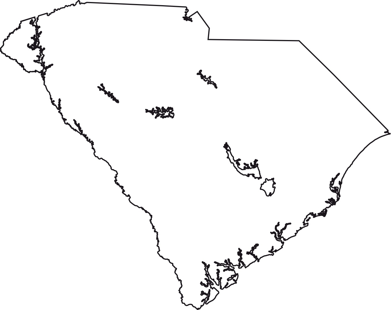
South Carolina blank outline Map | Large Printable High Resolution and Standard Map
South Carolina Location Map | Large Printable High Resolution and Standard Map