Alaska Capital Map | Large Printable Map

Alaska Capital Map | Large Printable Map is the Map of Alaska. You can also free download Map images HD Wallpapers for use desktop and laptop. Click Printable Large Map
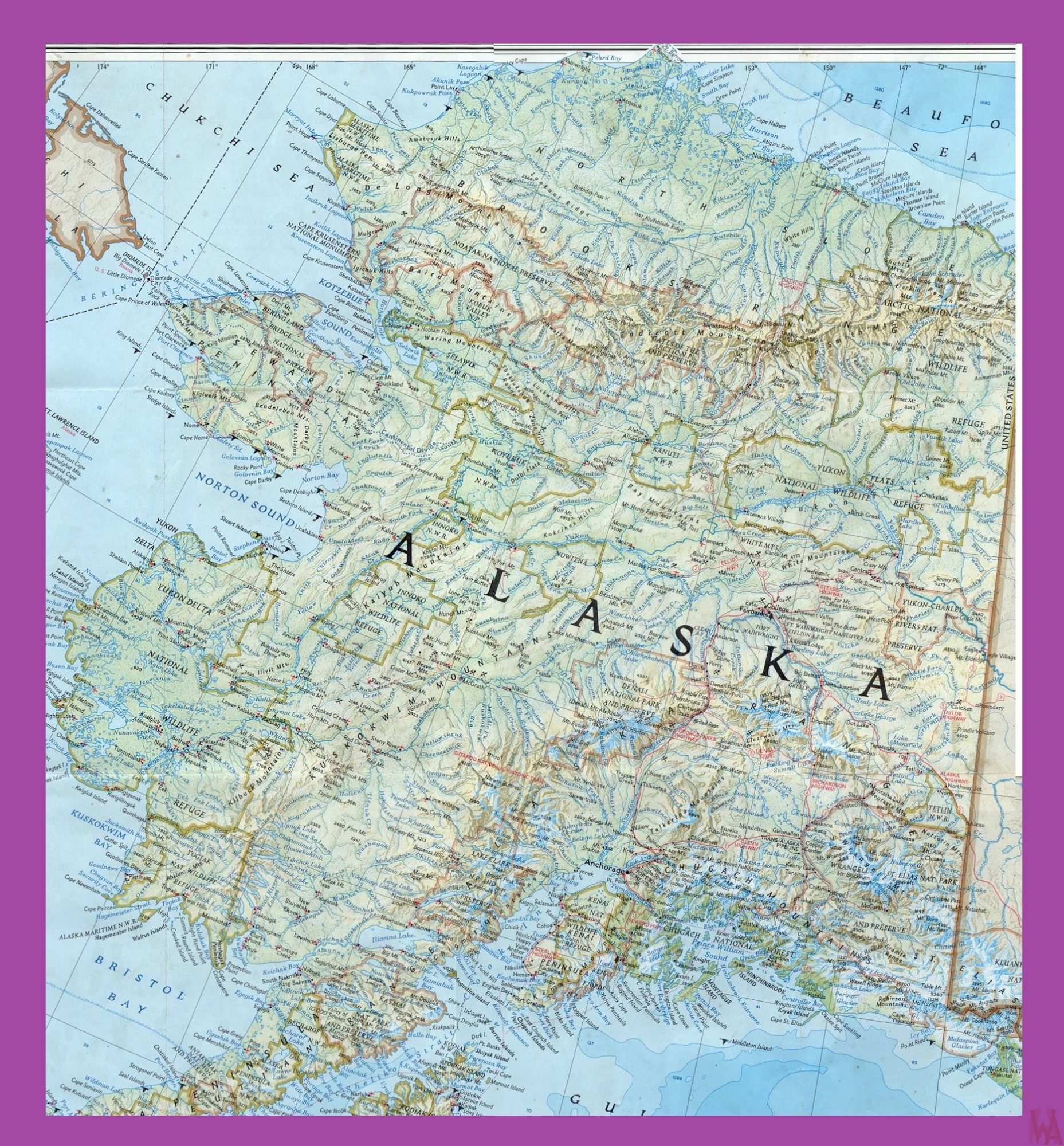
Alaska is the largest state And 3rd least populated state of the USA. Map of Alaska Covering an area of 663,268 square miles. It is located in the northwest extremity of the United States West Coast, just across the Bering Strait from Asia. Alaska is the seventh-largest subnational division in the world. Juneau is the official capital of Alaska and Anchorage is the largest city of the Political Map of Alaska.
Juneau is located in the Gastineau Channel and the Alaskan panhandle. With a total area of 3,255 square miles, Juneau, Alaska, is one of the largest municipalities in the United States and the largest capital in the US by area. The municipality is larger than Rhode Island and encompasses part of a glacier field. It has a population of almost 33,000 inhabitants (in 2015).
Juneau experiences a daily influx of roughly 6,000 people from visiting cruise ships between the months of May and September. Juneau is unique among U.S. capitals in that there are no roads connecting the city to the rest of the state. The Alaska State Capitol in downtown Juneau was built as the Federal and Territorial Building in 1931.
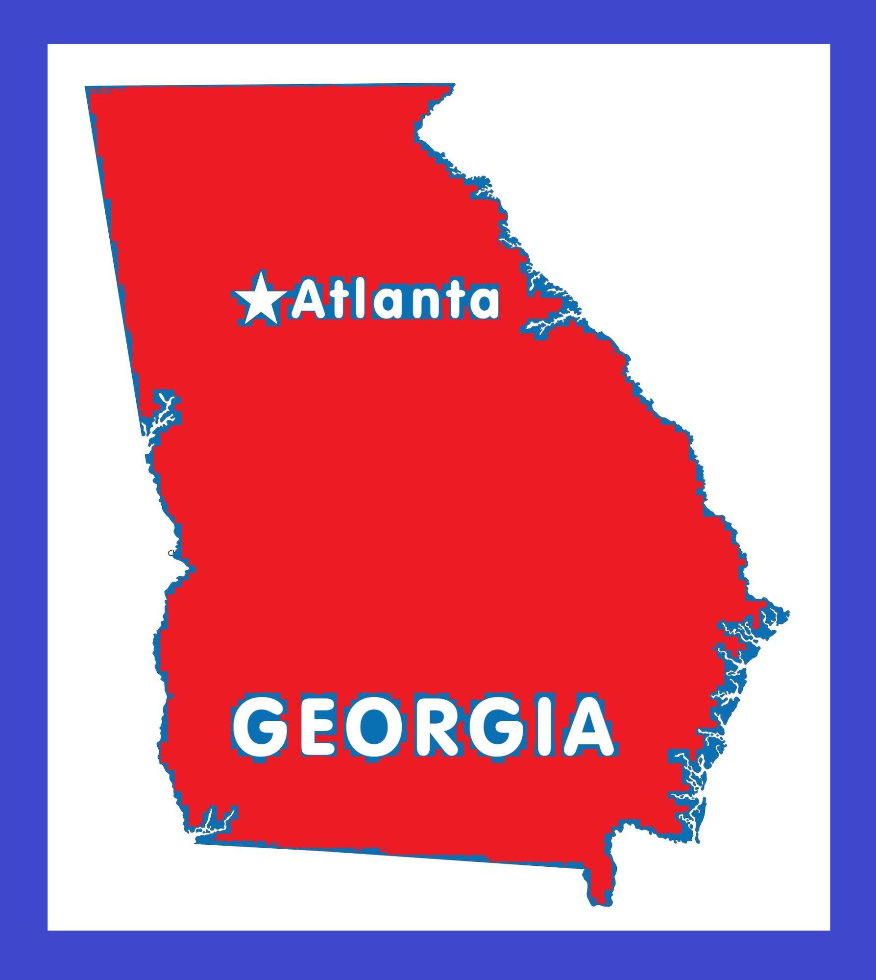
Georgia Capital Map | Large Printable and Standard Map 3
Map of Alaska | Political, Physical, Geographical, Transportation, And Cities Map