Transportation and Physical Map of Florida | Large, Printable Map

Transportation and Physical Map of Florida | Large, Printable Map is the Map of Florida. You can also free download Map images HD Wallpapers for use desktop and laptop. Click Printable Large Map
Transportation Map
The Transportation Map of Florida features highways, airports, waterbus, etc. Florida’s highway system features 1,495 mi (2,406 km) of interstate highway and 10,601 mi (17,061 km) of the non-interstate highway. Florida Department of Transportation Controlled the Transportation Map of Florida.
Some major interstate routes in the state are I-4, I-10, I-75, and I-95. Florida has 131 public airports. The busiest airports in the state are Orlando International Airport, Miami International Airport, Tampa International Airport, and Fort Lauderdale–Hollywood International Airport.

Physical Map
Florida is situated mostly on a large peninsula between the Gulf of Mexico, the Atlantic Ocean, and the Straits of Florida. It consists of the panhandle extending along the northern Gulf of Mexico and the large peninsula with the Atlantic Ocean as its eastern border and the Gulf of Mexico as its western border. It is near the countries of the Caribbean, particularly the Bahamas and Cuba.
The total area of Florida is 58,560 square miles. The state has 663 Miles of Beaches. The climate varies from subtropical in the north to tropical in the south. Florida’s marine shoreline totals more than 8,400 miles (13,500 km), including some 5,100 miles (8,200 km) along the gulf. At 345 feet (105 m) above mean sea level, Britton Hill is the highest point in Florida. The capital is Tallahassee, other cities include Jacksonville, Miami, Tampa, St. Petersburg, and Orlando.
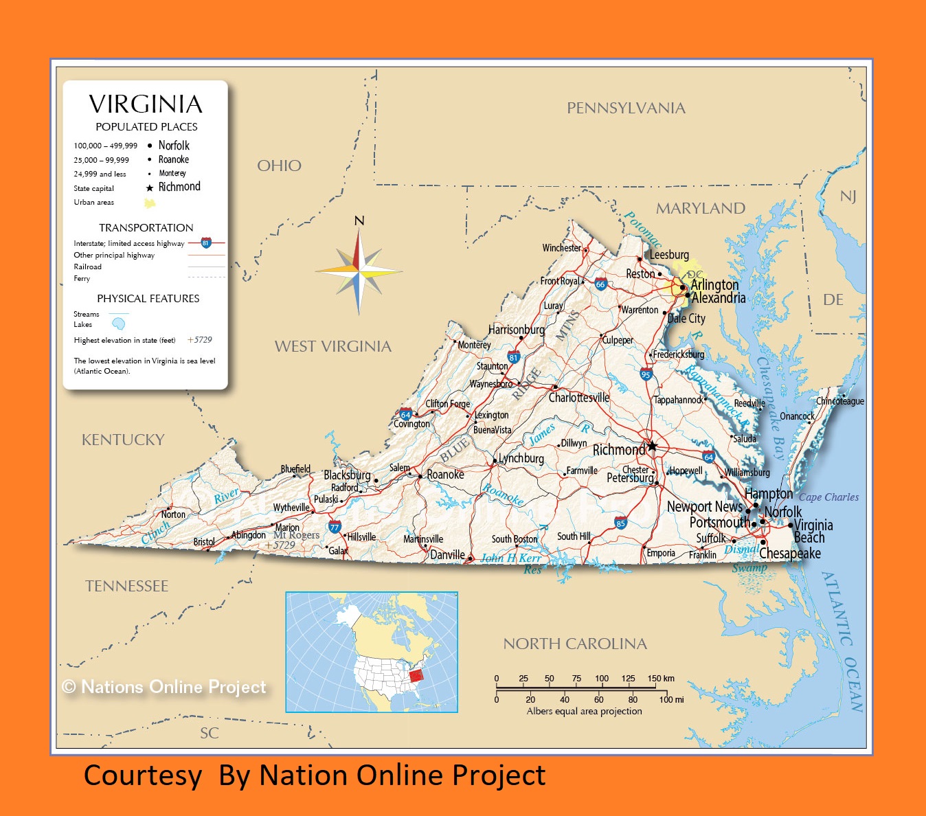
Virginia Transportation And Physical Map | Large Printable HD Map
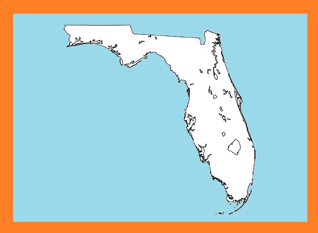
Florida Blank Outline Map | Large Printable and Standard Map 5
| « Delaware Transportation and physical map large printable | Transportation And Physical Map of Georgia | Large Printable Map » | |


