Hawaii Oahu Island Map | Large Printable and Standard Map

Hawaii Oahu Island Map | Large Printable and Standard Map is the Map of Hawaii. You can also free download Map images HD Wallpapers for use desktop and laptop. Click Printable Large Map
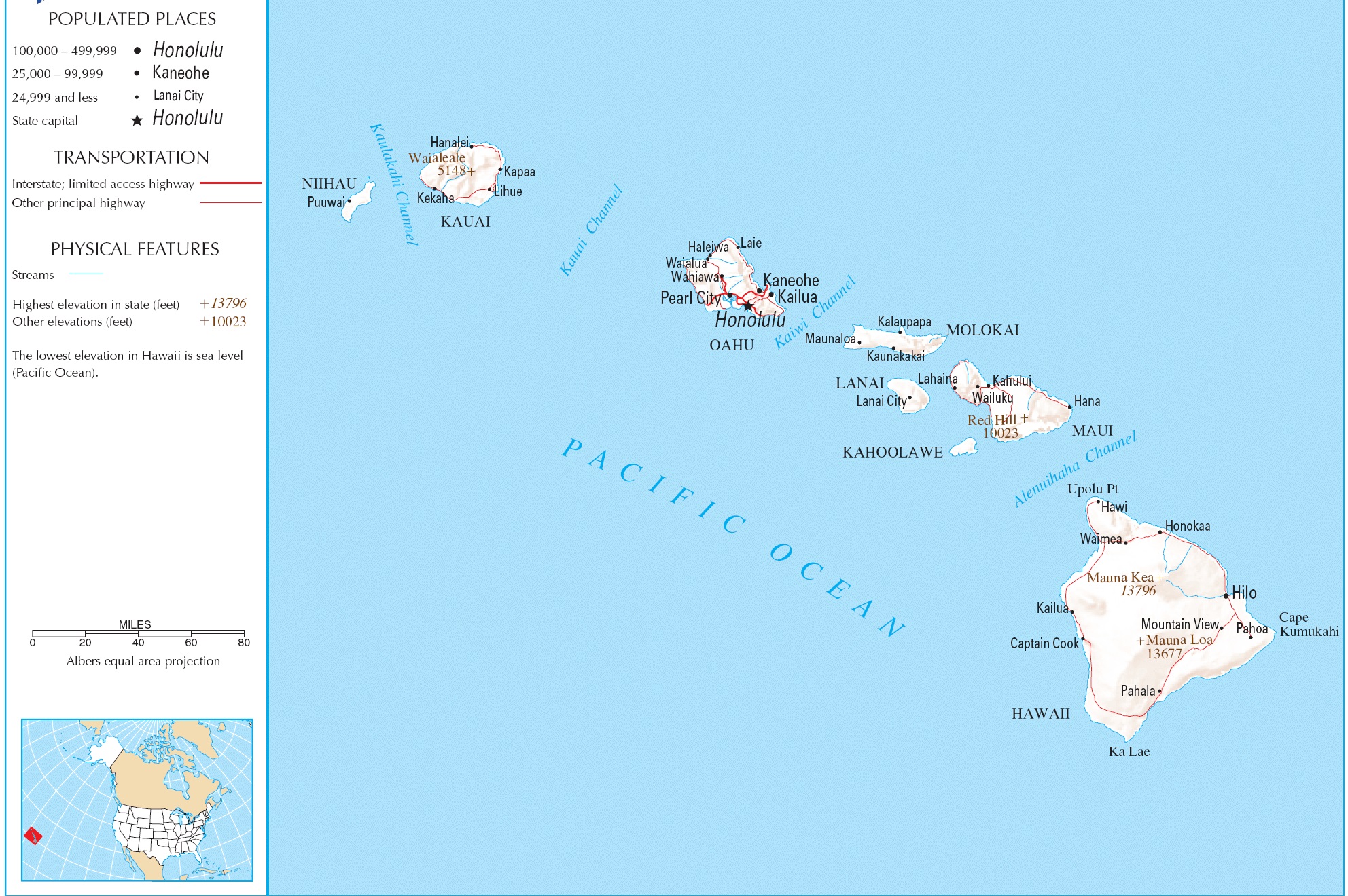
The island of O‘ahu is the third-largest of the Hawaiian Islands (after the Big Island and Maui) but home to about two-thirds of the population of the state. Its 227 miles (365 km) of coastline are famous for beautiful white sand beaches and world-class surfing but there is way more to experience here.
As the home of the city of Honolulu, the state capital, and as home to over 85% of the state’s population, Oahu has appropriately nicknamed “The Gathering Place.”
The city of Honolulu—the largest city, the state capital, and main deepwater marine port for the State of Hawaiʻi—is located here. As a jurisdictional unit, the entire island of Oʻahu is in Honolulu County, although as a place name, Honolulu occupies only a portion of the southeast end of the island.
Major Cities
- Honolulu
- Kailua
- Kahuku
- Kapolei
- Nanakuli
- Waianae
- Hale’iwa
- Wahiawa
- Waipahu
Fun Facts About Oahu
- Pearl Harbor is located about 20 minutes from Downtown Honolulu and is the site of the surprise attacks of December 7, 1941.
- Kualoa Ranch is the site of many Hollywood films and is located on the island’s eastern shores.
- The iconic Diamond Head Crater overlooks Waikiki and can be seen from almost anywhere on the island’s south and west-facing shores.
- Oahu welcomed more than 8 million visitors in 2015 and 2016.
Hawaii Political Map | Large Printable and Standard Map 2
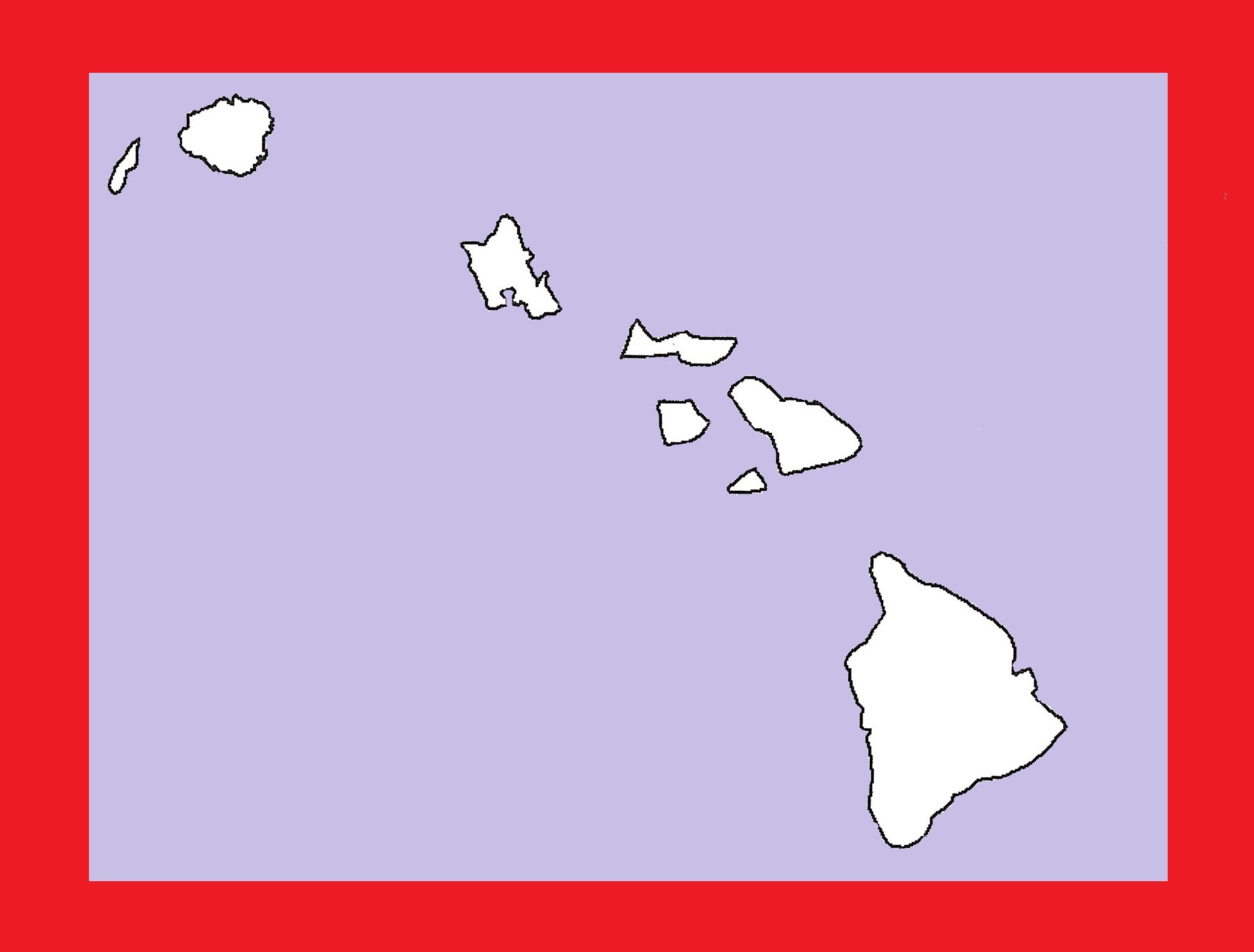
Hawaii Blank Outline Map | Large Printable and Standard Map 16