Map of Michigan | Political, County, Geography, Transportation, And Cities Map

Map of Michigan | Political, County, Geography, Transportation, And Cities Map is the Map of Michigan. You can also free download Map images HD Wallpapers for use desktop and laptop. Click Printable Large Map
The US state of Michigan is located in the Great Lakes and Midwestern regions of the United States. It is one of the East North Central states of the country. Michigan is the 10th most populous of the 50 United States With approximately 10 million Population. The Map of Michigan covers an area of 250,485 km² (96,713 sq mi), making it the 11th largest state in the US.
The name Michigan comes from the French Ojibwa word mishigamaa which means “large water” or “large lake.” Many Native American tribes have occupied the area of Michigan for thousands of years. The area was first to Explore by the Franch and was claimed as part of the New France colony. Later, the Treaty of Paris signed in 1763 placed the state under the British.
In 1796, according to the Jay Treaty, Britain gave Detroit and some other posts in Michigan to the US. On 26 January 1837, President Andrew Jackson signed a bill for granted Michigan its sovereignty and joined the Union as the 26th state.
Michigan Facts
- Capital City: Lansing (pop.) 114,947 (2011 est.)
- Michigan Population: 9,883,360 (2012 est.) (9th)
- Currency: U.S. Dollar
- Language: English, others
- Largest Cities: (by population) Detroit, Grand Rapids, Warren, Sterling Heights, Flint, Lansing
- Statehood: January 26, 1837 (26th state)
Political Map of Michigan

Michigan is located in the Great Lakes and Midwestern regions of the United States. It Is the 10th most populous and the 11th largest state in the US. The Political Map of Michigan shares its borders with Indiana, Ohio, Wisconsin, and Ontario, a Canadian province. Michigan has shorelines at four of the five Great Lakes. Those are Lake Erie, Lake Huron, Lake Michigan, and Lake Superior. The state also shares a water boundary with Minnesota and Illinois. Lansing is the state capital of Michigan, and its largest city is Detroit.
County Map of Michigan

The County Map of Michigan consists of 83 counties. The boundaries of every county have fixed since 1897. Each county is administered from their respective county seats. Some major counties of the state are Wayne County, Oakland County, Keweenaw County, Ingham County, Eaton County, Allegan County, and Ottawa County. Wayne County is the largest county of the state. It has a population of 1,820,584. Lansing is the state capital, yet Detroit is the largest city of the state.
Geography Map of Michigan

Michigan is one of the East North Central states of the US. It spread over an area of 96,716 square miles. Michigan borders the Canadian province of Ontario, the US states of Indiana, and Wisconsin, Ohio. It shares a water boundary with Illinois and Minnesota. The state has the longest shoreline in the continental U.S. – nearly 3,300 miles.
The Wolverine State (its nickname) is divided into the Upper and Lower Peninsulas. Upper Peninsula is hilly and rugged in the west, especially in the heavily-forested Porcupine Mountains. The Lower Peninsula is a part of the Great Lakes Plains. Mount Arvon is the highest point in the state with a height of 1,979 feet.
Michigan’s has numerous islands, including Bois Blanc, Drummond, Grand, Isle Royale, Mackinac, Sugar; the Manitou Islands, and the Beaver Island archipelago. The state is covered by over 11,000 freshwater lakes.
Geography Facts
- Land Area: (land) 56,804 sq miles (water) 40,001 sq miles (TOTAL) 100,805 sq miles
- Bordering States: (3) Ohio, Indiana and Wisconsin
- Counties: (83) Map
- County: (largest by population) Wayne 2,061,162
- Highest Point: Mt. Arvon at 1,979 ft.
- Lowest Point: 572 ft. on Lake Erie shoreline
Transportation Map of Michigan
![]()
The Transportation of Michigan is well-connected by air, rail, and road. The state has nine international road crossings with Ontario, Canada. Some major interest highways are I-75, I-69, I-94, I-96. Auxiliary highways include I-275 and I-375 in Detroit; I-475 in Flint; and I-675 in Saginaw. The busiest airport in the state is Detroit Metropolitan Wayne County Airport. The Gerald R. Ford International Airport in Grand Rapids is the 2nd busiest airport in the state. Michigan is served by four Class I railroads.
Cities Map of Michigan

Lansing is the state capital of Michigan. Detroit is the largest city in the state and as of 2016, had an estimated population of 672,795. Grand Rapids is the second-largest city in the state.
List of Cities in Michigan:
Detroit (706,585)
Grand Rapids (189,815)
Warren (134,243)
Sterling Heights (129,880)
Ann Arbor (114,925)
Lansing (114,605)
Flint (101,558)
Dearborn (97,114)
Clinton (96,796)
Livonia (95,958)
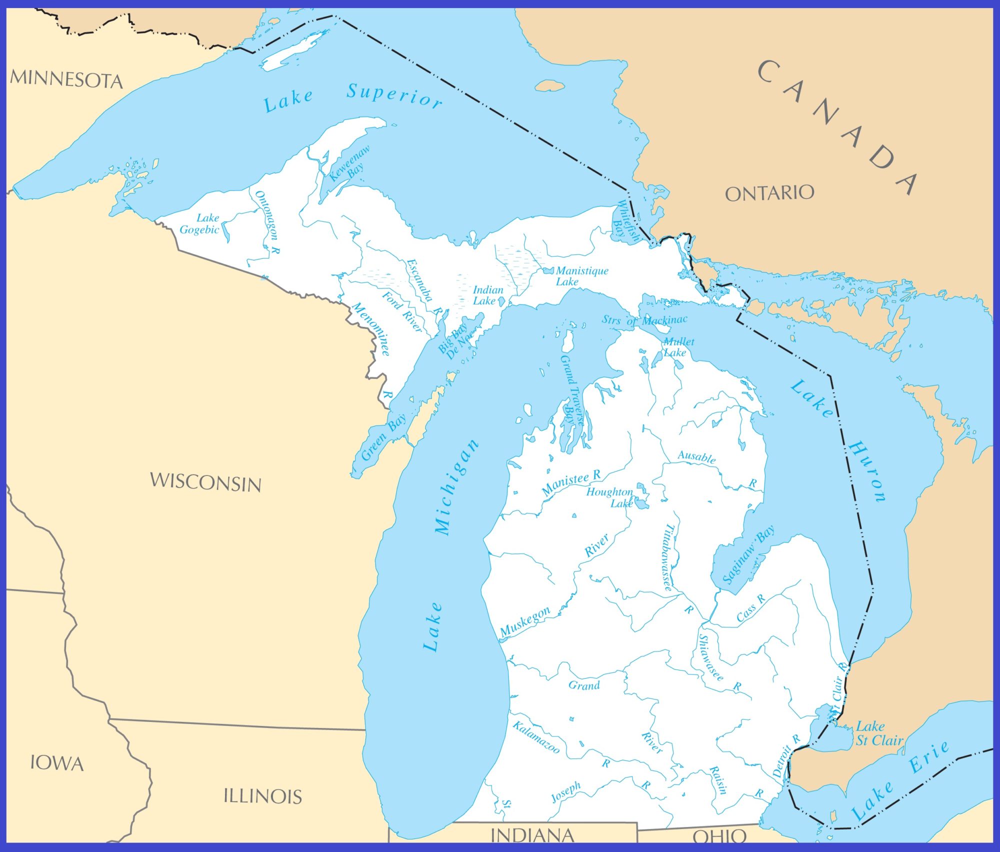
Michigan Rivers Map | Large Printable High Resolution and Standard Map
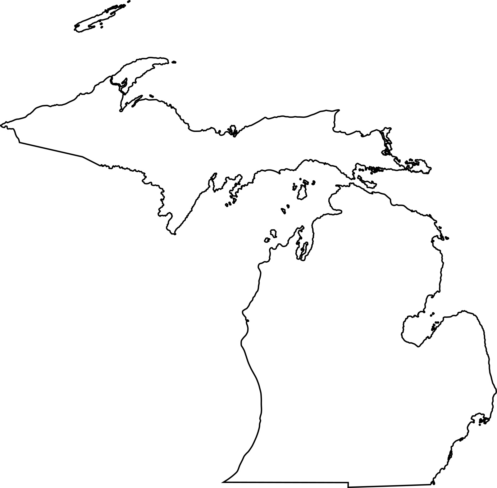
Michigan blank outline Map | Large Printable High Resolution and Standard Map