Map of North Dakota | Political, County, Geography, Transportation, And Cities Map

Map of North Dakota | Political, County, Geography, Transportation, And Cities Map is the Map of North Dakota. You can also free download Map images HD Wallpapers for use desktop and laptop. Click Printable Large Map
The US state of North Dakota is a landlocked state. It is located in the midwestern and northern regions of the United States. Map of North Dakota covers a total area of 183,107 km² (70,698 sq mi), making it the 19th largest state in the country. With a population of 757,952, It is the 4th smallest populated state of the United States. Bismarck is the state capital of North Dakota.
Many Native American tribes lived in what is now North Dakota for thousands of years before the Europeans exploration. In the 18th century, Europeans established trade contact with this area. The territory North Dakota was acquired partly by the Louisiana Purchase in 1803, and partly from Great Britain by a treaty in 1818. North Dakota joined the union as the 39th (or 40th) US state On 2 November 1889.
North Dakota is full of natural resources. It has played a major role in its economic performance. Such development has led to population growth and reduced unemployment, resulting in North Dakota’s having the second-lowest unemployment rate in the nation.
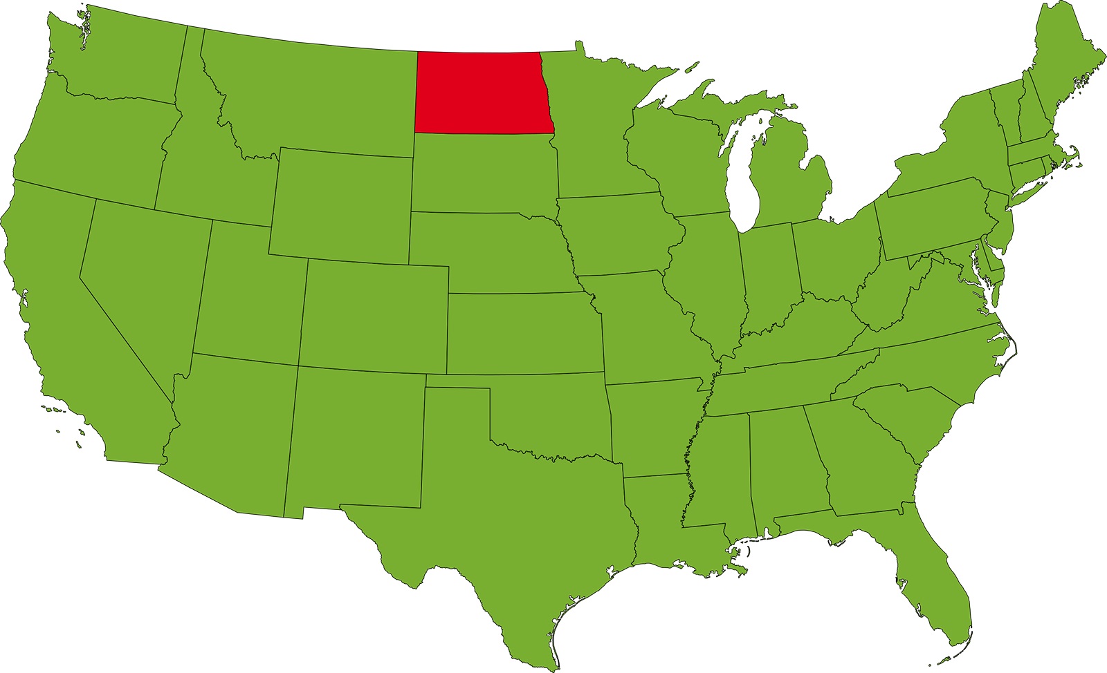
Political Map of North Dakota

North Dakota is located in the midwestern and northern regions of the United States. The Political Map of North Dakota borders South Dakota in the south, Montana in the west. The state shares its international borders with the Canadian provinces of Manitoba and Saskatchewan. The winding Red River of the North shapes its border with Minnesota in the east. North Dakota covers a total area of 183,107 km² (70,698 sq mi), making it the 19th largest state in the country. Bismarck is the state capital of North Dakota.
County Map of North Dakota

There are 53 counties in the County Map of North Dakota. McKenzie County is the largest county in North Dakota by area. It has a total area of 2,861 square miles (7,410 km2). Cass County is the most populous county in North Dakota. As of the 2010 United States Census, the population was 149,778 and was estimated to be 181,923 in 2019. Some major counties of the state are Adams County, Barnes County, Cass County, Dickey County, Foster County, etc.
Geography Map of North Dakota

The US state of North Dakota is a landlocked state. It is located in the midwestern and northern regions of the United States. North Dakota shares its borders with the US states of South Dakota and Montana with the Canadian provinces of Manitoba, and Saskatchewan. It covers a total area of 183,107 km² (70,698 sq mi). White Butte is the highest point of the state at 1069 m (3,508 ft) located in the Badlands in the southwestern corner of the state.
The geography of the state varies from region to region. In the east, there is the flat Red River Valley. it is the lake bed of the ancient Lake Agassiz, a remnant of the last glacial period (ice age). Further west lies the Drift Prairie. The Laurentian Divide cuts from northwest to southeast diagonal through North Dakota. The major rivers of North Dakota are the Red River and Missouri River.
Transportation Map of North Dakota
![]()
The Transportation Map of North Dakota is controlled by the North Dakota Department of Transportation. The major Interstate highways are Interstate 29 and Interstate 94, with I-29. BNSF and the Canadian Pacific Railway operate the state’s largest rail systems. The largest airports in the state are Fargo’s Hector International Airport, Bismarck Municipal Airport, and Minot International Airport.
Cities Map of North Dakota

Bismarck is the state capital of North Dakota. Fargo is the largest city in North Dakota with a population of 124,000.
10 largest Cities in North Dakota
| City | Population | County | Land area (sq. mi.) | Year established |
| Fargo | 124,844 | Cass | 48.82 | 1871 |
| Bismarck | 73,112 | Burleigh | 31.23 | 1872 |
| Grand Forks | 56,948 | Grand Forks | 20.09 | 1881 |
| Minot | 47,370 | Ward | 17.45 | 1887 |
| West Fargo | 36,566 | Cass | 14.72 | 1926 |
| Williston | 27,096 | Willams | 7.56 | 1887 |
| Dickinson | 22,739 | Stark | 10.03 | 1881 |
| Mandan | 22,519 | Morton | 11.13 | 1881 |
| Jamestown | 15,226 | Stutsman | 12.87 | 1872 |
| Wahpeton | 7,753 | Richland | 5.29 | 1869 |
North Dakota Capital Map | Large Printable High Resolution and Standard Map

North Dakota Location Map | Large Printable High Resolution and Standard Map