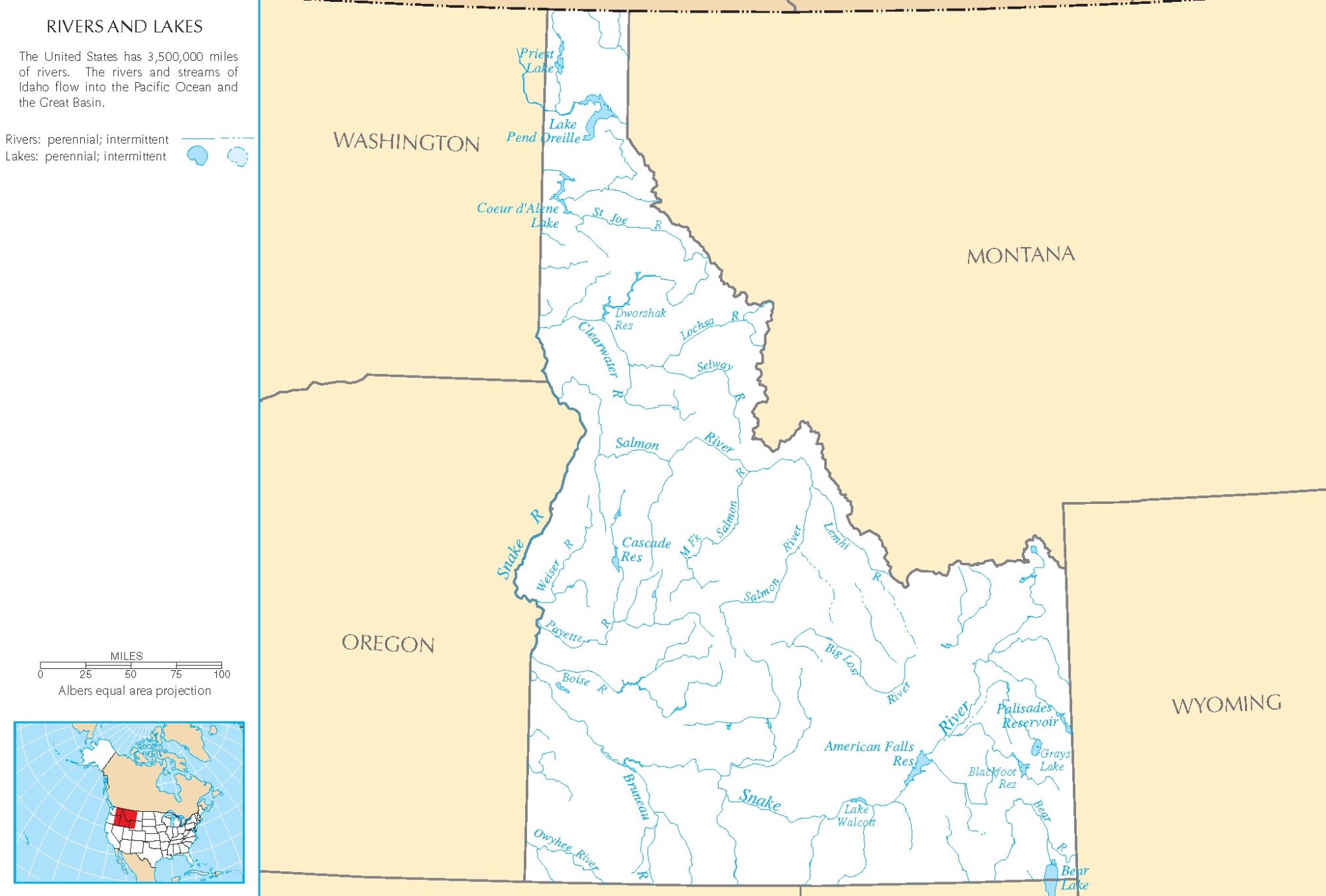
Missouri Rivers Map | Printable High Resolution Rivers Map of Missouri

Missouri Rivers Map | Printable High Resolution Rivers Map of Missouri is the Map of Missouri. You can also free download Map images HD Wallpapers for use desktop and laptop. Click Printable Large Map
Missouri is a landlocked state located in the Midwestern United States. The Map of Missouri is the 21st largest with an area of 180,540 km². With a population of 6.1 million people, it is the 18th-most populous state in the country. The capital of Missouri is Jefferson City and St. Louis, Kansas City, Springfield and Columbia are the largest urban areas of the state.
Two of America’s most important rivers flow through the state. the Mississippi River forms its entire eastern border, and the Missouri River slices the state almost in half. Many additional rivers (tributaries of the Mississippi and Missouri) drain the state, and countless streams enrich the farmlands.
Missouri Rivers Shown on the Map: Big Piney River, Black River, Blackwater River, Bourbeuse River, Charriton River, Cuivre River, Current River, Eleven Point River, Gasconade River, Grand River, James River, Lamine River, Locust Creek, Marais des Cygnes River, Meramec River, Mississippi River, Missouri River, Mussel Fork, Niangua River, North Fabius River, North Fork Salt River, Osage River, Platte River, Sac River, Salt River, South Grand River, St. Francis River, and Thompson River.
Missouri Lakes Shown on the Map: Bull Shoals Lake, Harry S. Truman Reservoir, Lake of the Ozarks, Mark Twain Lake, Stockton Lake, Table Rock Lake and Thomas Hill Reservoir.


