North Carolina Transportation and physical map large printable

North Carolina Transportation and physical map large printable is the Map of North Carolina. You can also free download Map images HD Wallpapers for use desktop and laptop. Click Printable Large Map
The state of North Carolina is located at the eastern edge of the United States, south of Virginia, north of South Carolina, and east of Tennessee, and west of the Atlantic Ocean.
The landscape can be divided into two major parts: the ranges of the Appalachian Mountains characterize the western regions, while the flat Atlantic Coastal Plains lie in the eastern part. The highest peak is Mount Mitchell in the western part, the major rivers are Roanoke, Pee Dee and Cape Fear rivers, that flow into the Atlantic.
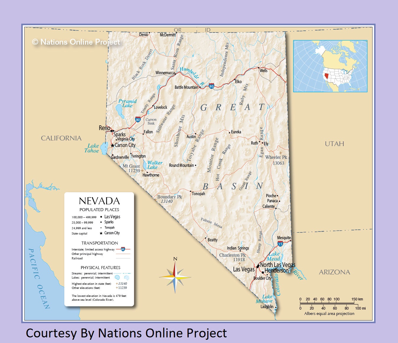
Nevada Transportation and physical map large printable
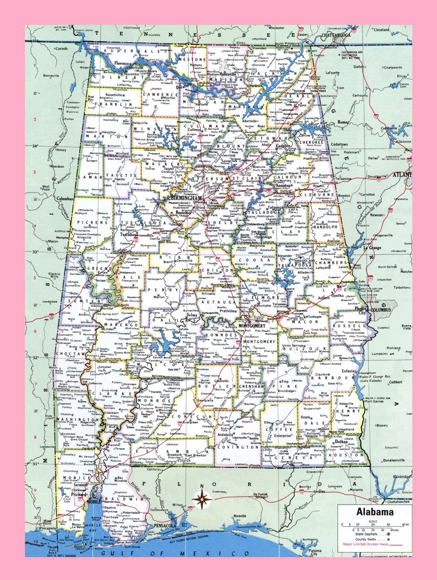
Alabama Large Detailed Map | Detailed Map of Alabama
| « New York Transportation and physical map large printable | North Dakota Transportation and physical map large printable » | |
| North Carolina Map | US North Carolina State Map | States Physical Maps | The United States | States Transportation Map | United States |


