Rhode Island Blank Outline Map | Large Printable Standard Map

Rhode Island Blank Outline Map | Large Printable Standard Map is the Map of Rhode Island. You can also free download Map images HD Wallpapers for use desktop and laptop. Click Printable Large Map
Rhode Island is a US state located in the New England region of the United States. The official name of the state is “State of Rhode Island and Providence Plantations”. Rhode Island Blank Map is the smallest In the USA with Covering an area of just 1,214 square miles. With a population of 1,059,300 people, It is the 43rd most populous state in the country. The state shares borders with Connecticut, Massachusetts, and the Atlantic Ocean.
Rhode Island Facts
- Capital: Providence
- Population: 1 million
- Nickname: The Ocean State
- Key Cities: Providence, Newport, Warwick, Pawtucket, Narraganset
- Major Industries: Healthcare, tourism, financial services, manufacturing, education
- Size: 1,212 sq. miles
- Lowest point: the Atlantic Ocean at sea level
- Highest point: Jerimoth Hill at 812 ft.
- Counties: 5
The Map of Rhode Island consists of two major regions: the southern and eastern Coastal Lowlands and the Eastern New England Upland (ENEU). More than half of the state is covered with forests. The state has main four islands: Aquidneck Island, Conanicut, Prudence, Block Island. Major rivers are the Pawcatuck River, The Wood River, The Sakonnet River.
Largest cities in Rhode Island with a population: Providence (179,200), Warwick (81,700), Cranston (81,000), Pawtucket (71,600), East Providence (47,000), Woonsocket (41,200).
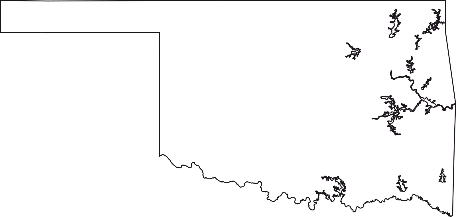
Oklahoma blank outline Map | Large Printable High Resolution and Standard Map
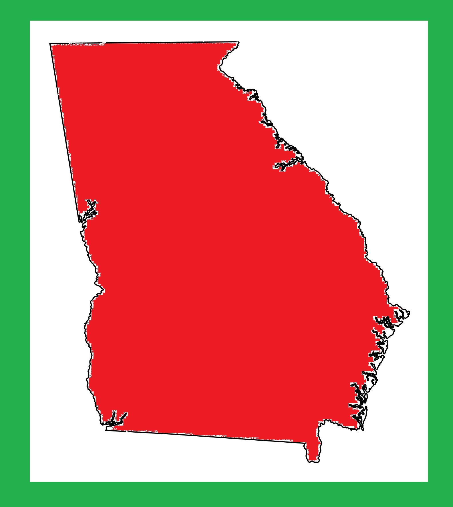
Georgia Blank Outline Map | Large Printable and Standard Map 7