Rhode Island Transportation and physical map large printable

Rhode Island Transportation and physical map large printable is the Map of Rhode Island. You can also free download Map images HD Wallpapers for use desktop and laptop. Click Printable Large Map
Location: Northeastern United States
Capital: Providence
Largest city: Providence
Major cities:
Woonsocket, Pawtucket, Cranston, Warwick, Newport, Hope Valley
Neighboring states:
Massachusetts, Connecticut.
Largest Lake: Scituate Reservoir
Highest Point: Jerimoth Hill (247 m, 812 ft)
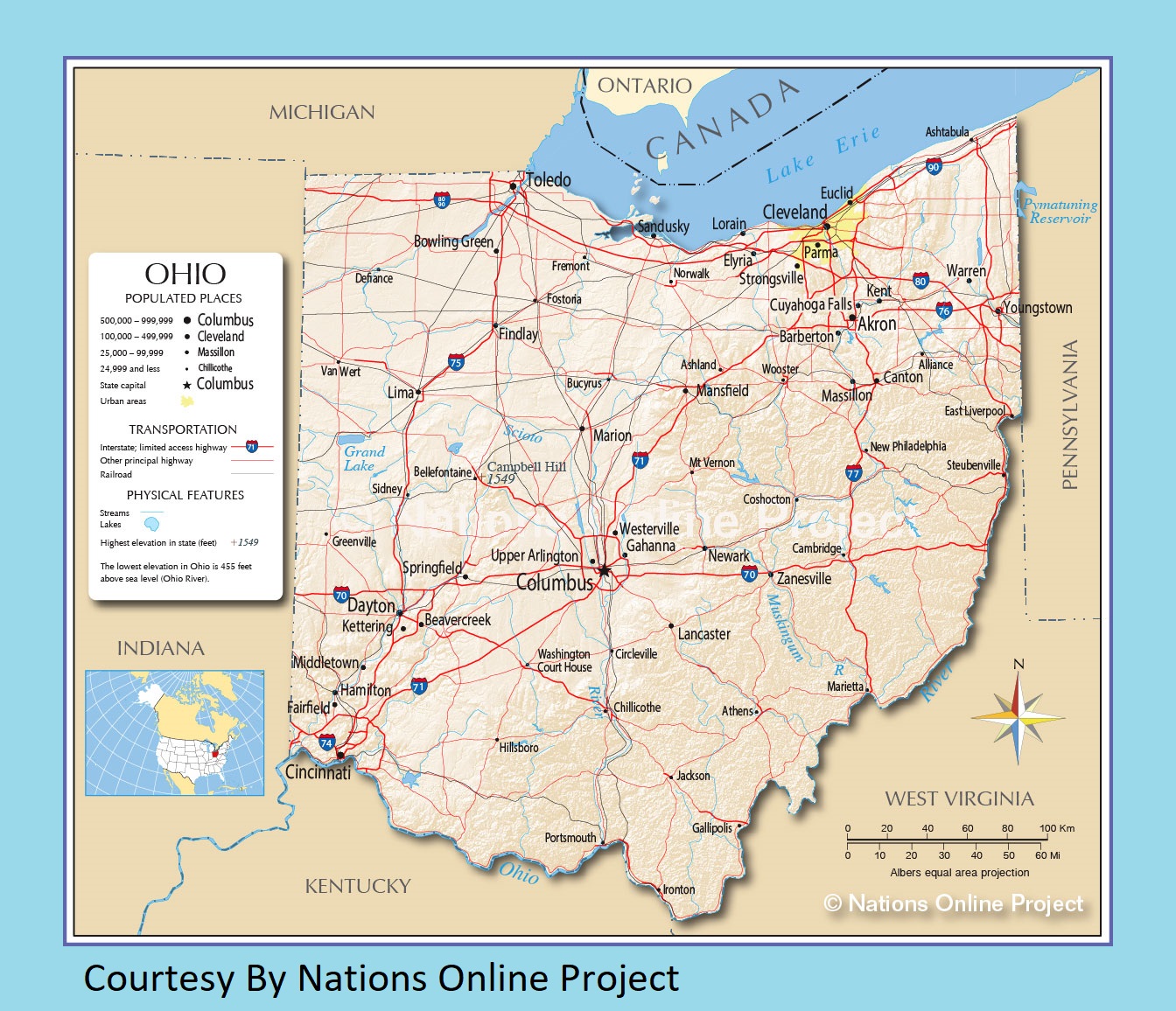
Ohio Transportation And Physical Map | Large Printable HD Map
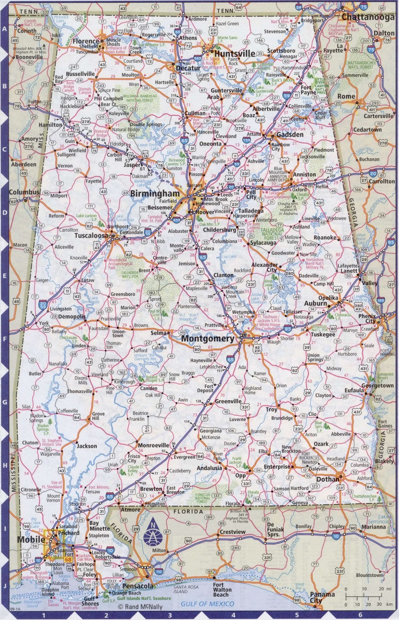
Alabama Large Highway Map Large Highway Map of Alabama-city-county-political
| « Pennsylvania Transportation And Physical Map | Large Printable Map | South Carolina Transportation and physical map large printable » | |


