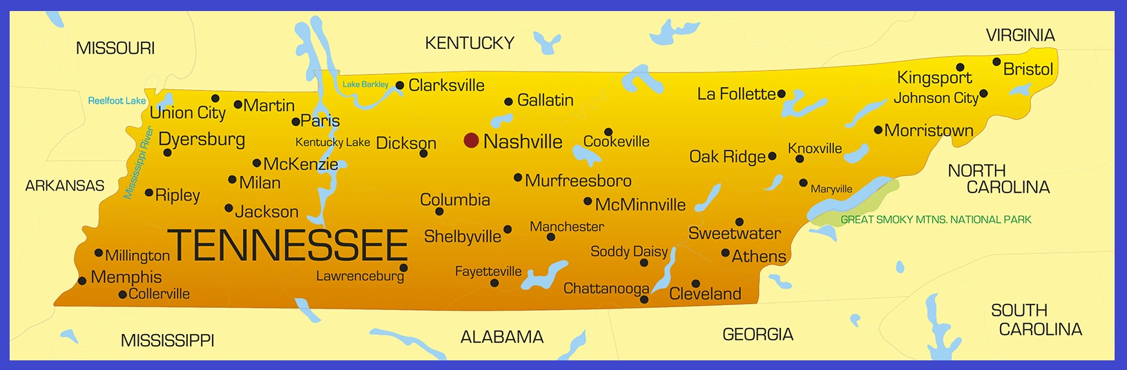
Tennessee Transportation And Physical Map | Large And Printable Map

Tennessee Transportation And Physical Map | Large And Printable Map is the Map of Tennessee. You can also free download Map images HD Wallpapers for use desktop and laptop. Click Printable Large Map
Tennessee is a landlocked state located in the southeastern United States. It shares borders with Alabama, Arkansas, Georgia, Kentucky, Mississippi, Missouri, North Carolina, and Virginia. Covering an area of 42,143 square miles, Map of Tennessee is the 36th largest state. Tennessee Transportation Map features 17 active interstate highway routes with over 1,959.54 mi.
All Interstate highways are I-24, I-26, I-40, I-55, I-65, I-69, I-81, I-124, I-140, I-240, I-440, I-640, I-840, I-155, I-265, I-269, I-275, I-181. The busiest airports in the state are Memphis International Airport and Nashville International Airport. Amtrak operates the City of New Orleans through the state, with two stops at Newbern Depot and Memphis Central Station.
Physical Map Tennessee features three Grand Divisions: East, Middle, and West Tennessee. The southern part of the Appalachian Plateau, the Cumberland Plateau dominates East Tennessee. Middle Tennessee lies west of the Cumberland Plateau. Between the Tennessee River and the Mississippi lies West Tennessee.
The major rivers of the state are the Tennessee River, Mississippi River, and Cumberland River. The highest point in the state is the Clingmans Dome at 2,025 m (6,643 ft), a mountain in the Great Smoky Mountains (which are part of the Blue Ridge Mountains).
Tennessee Details Map | Large Printable High Resolution and Standard Map
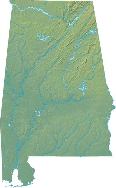
Alabama Large Political Map Political Map of Alabama With Capital , city and River lake-3
| « South Dakota Transportation and physical map large printable | Utah Physical And Transportation Map | Large Printable Map » | |


