Outline Map of Europe | Printable Blank Map of Europe

From Portugal to Russia, and from Cyprus to Norway, there are a lot of countries to keep straight in Europe. Europe is the second-smallest continent In the world. Europe covers about 10,180,000 square kilometers (3,930,000 sq mi), or 2% of the Earth’s surface (6.8% of land area). It is the third most populated one which alone speaks volumes of its significance in the context of modern civilization.
Map of Europe Facts
- Population: 738,199,000 (Source: 2010 United Nations)
- Area: 3,930,000 square miles
- Ranking: It is the sixth-largest and third-most populous continent
- Major cities: Moscow, Russia London, United Kingdom St Petersburg, Russia Berlin, Germany Madrid, Spain Rome, Italy Kyiv, Ukraine Paris, France Bucharest, Romania Budapest, Hungary
Europe is the proud home to the Greek civilization and Roman empire. These civilizations made an almost unparalleled contribution to the world of art, literature, philosophy, politics, and law. This blank map of Europe can help students to learn the countries’ names and locations of Europe. This resource is great for an in-class quiz or as a study aid.
Printable Outline Map of Europe
![]()
Europe is Politically divided into about fifty sovereign states, of which Russia is the largest and most populous, spanning 39% of the continent and comprising 15% of its population.
Exploration gave rise to the development of trade routes which made way for a worldwide colonial era in due course of time. In this period, Europe came to play an immensely important role in shaping the course of world history.
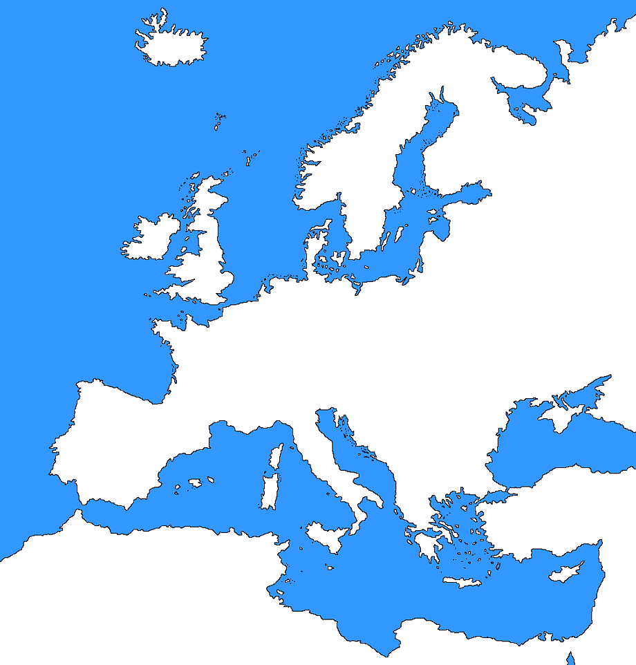
✅Large Blank Map of Europe
The Europe blank map clearly defines the geographical and political boundaries of the continent. The political boundaries of various countries in the continent are also marked on the map. This resource is great for an in-class quiz or as a study aid.
✅How Many Countries Are in Europe?
By the conventional definition, there are 44 sovereign states or nations in Europe. Russia is a transcontinental country. 77% of Russia’s area is in Asia, and the western 23% of the country is located in Europe. Luxembourg is the wealthiest country in the European Union, per capita, and its citizens enjoy a high standard of living.
Outline Map of Europe | Printable Blank Map of Europe. You can also free download Map images HD Wallpapers for use desktop and laptop.
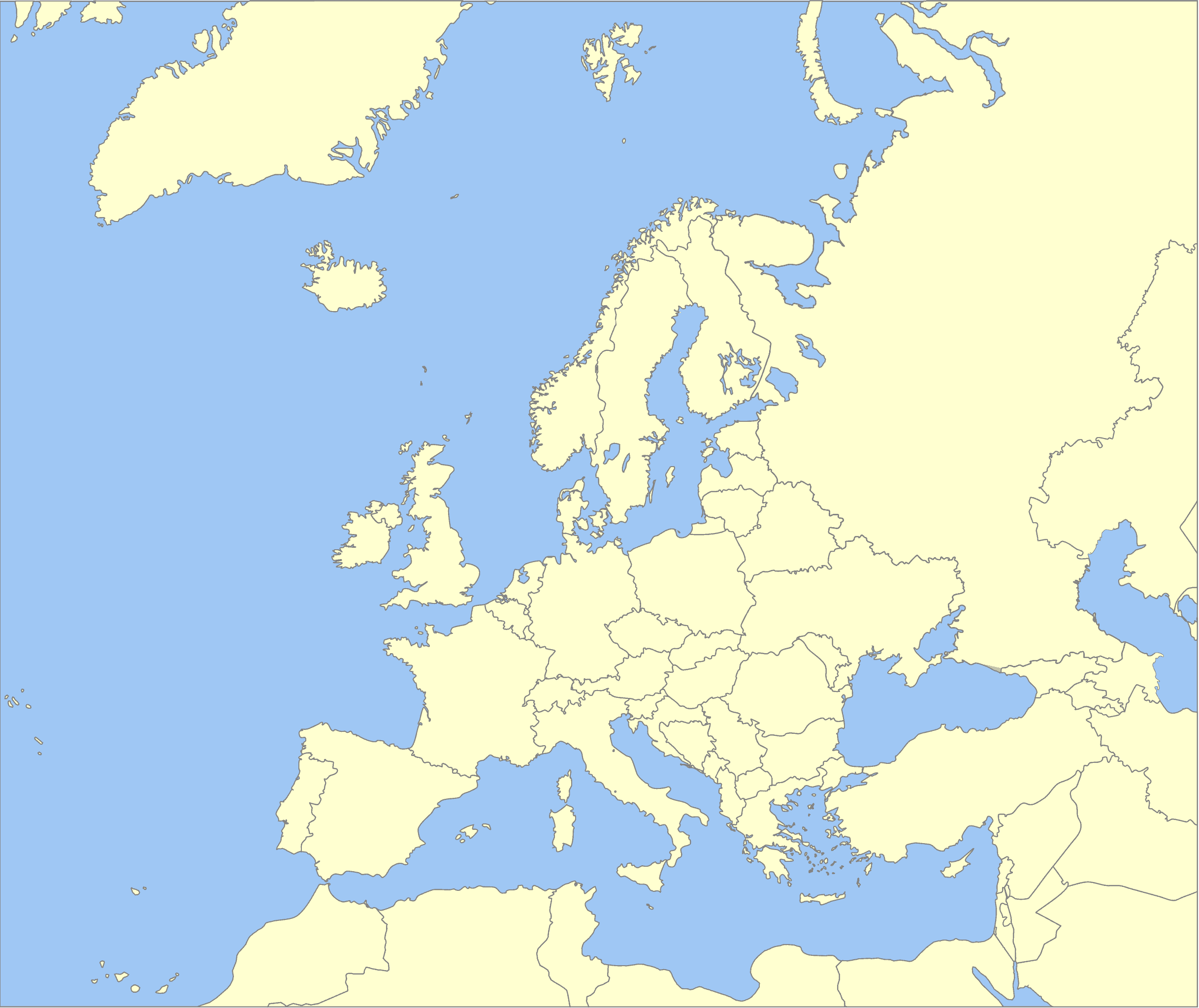
The Outline Map of Europe clearly defines the geographical and political boundaries of the continent. The boundaries that demarcate one nation from the other in Europe are also marked on the map.
The Printable Blank Map of Europe on this post clearly defines the geographical and political boundaries of the continent. The political boundaries of various countries in the continent are also marked on the map.
Reference:
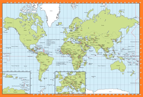
The World Political Map with Capital | Large, Printable, Children Choice, Political Map
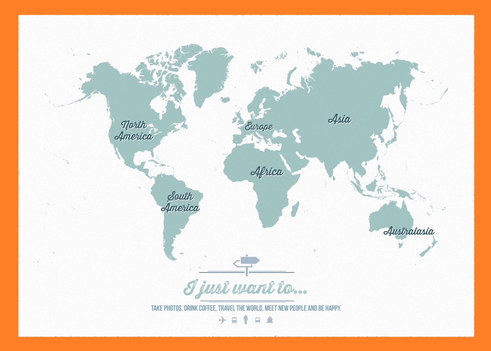
The World Continent Map | Large, Printable, Children Choice, Political Map