The World Continent Map | Large, Printable, Children Choice, Political Map

A world map is a map of most or all of the surface of Earth. With seven continents in total and 195 countries in the world. Of those, 193 are officially recognized by the United Nations, an organization that was established after WWII to maintain international peace. The remaining two are non-members known as observer states: Holy See and Palestine. These entities are invited to observe various activities with limited participation. World Map With Countries Shows Every Country In The World With Names.
Information About the 7 Continents
- Asia – 17,212,000 sq mi (44,579,000 sq km)
- Africa – 11,668,599 sq mi (30,221,532 sq km)
- North America – 9,540,000 sq mi (24,709,000 sq km)
- South America – 6,890,000 sq mi (17,840,000 sq km)
- Antarctica – 5,400,000 sq mi (14,000,000 sq km)
- Europe – 3,930,000 sq mi (10,180,000 sq km)
- Australia/Oceania – 3,291,903 sq mi (8,525,989 sq km
Asia
Asia counts 49 generally recognized sovereign states, all members of the United Nations, plus two states with a kind of limited, but substantial, international recognition, Taiwan (ROC), and Palestine (State of Palestine). 4.64 billion people live in Asia.
Africa
There are 54 sovereign states (countries) in Africa. An estimated 1.34 billion people live on the second-largest continent (in 2020).
North America
In North America, there are 23 sovereign countries. Greenland, the largest island in the world is a dependency of the Kingdom of Denmark.
South America
Twelve independent countries share the continent of South America, plus one French overseas department, French Guiana, and two dependent territories, the Falkland Islands and South Georgia and the South Sandwich Islands (both British overseas territories).
Antarctica
There are no countries in Antarctica.
Europe
There are 44 sovereign countries in Europe. 747 million people live in Europe.
Australia/Oceania
Oceania, one continental-sized territory (Australia), three major archipelagos (Melanesia, Micronesia, and Polynesia), 14 sovereign countries, 10,000 islands, 42.6 million people. Together with Australia, Oceania forms the Australia/Oceania Region.
The World Continent Map | Large, Printable, Children Choice, Political Map. You can also free download Map images HD Wallpapers for use desktop and laptop.
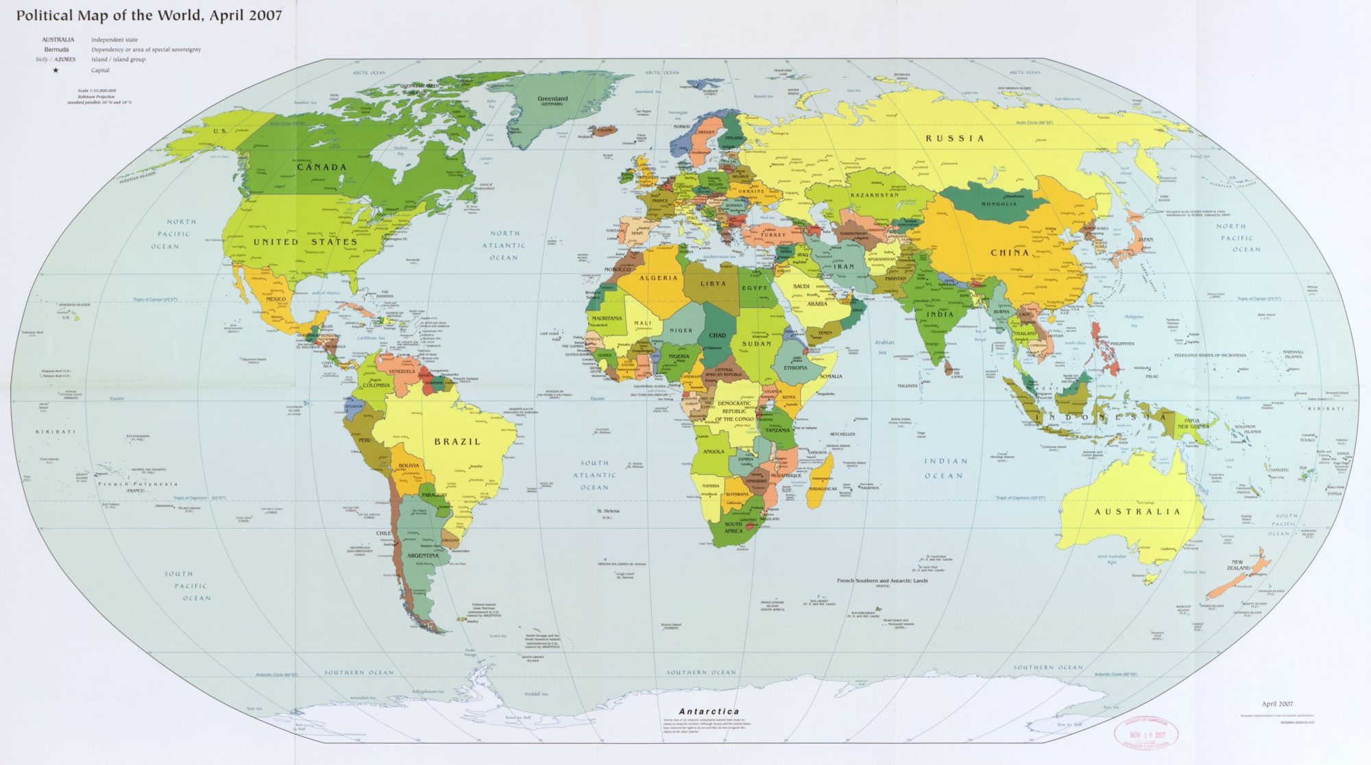
The World Political Map | April 2007 | Large, Printable Downloadable Map
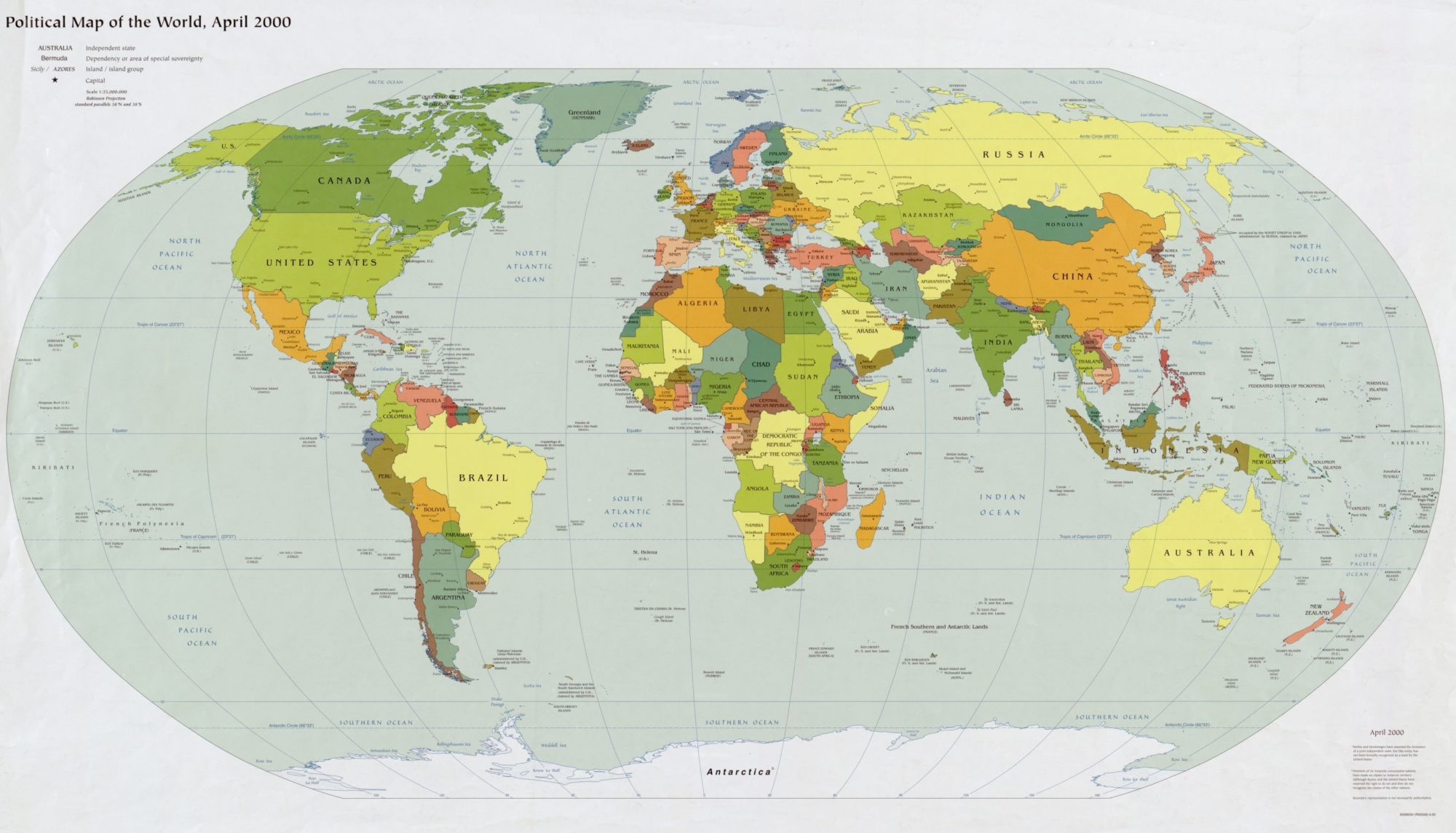
The World Political Map | June 2000 | Large, Printable Downloadable Map