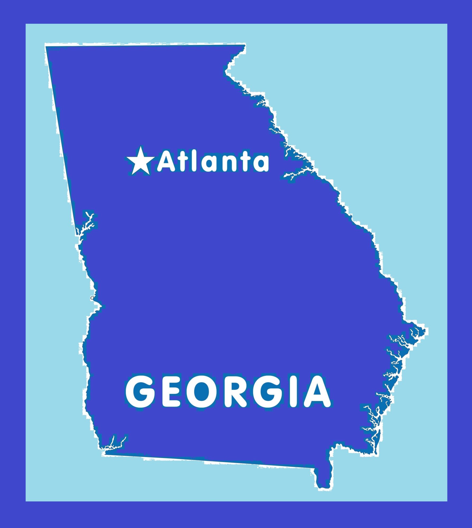
Georgia Political Map | Large Printable and Standard Map

Georgia Political Map | Large Printable and Standard Map is the Map of Georgia state. You can also free download Map images HD Wallpapers for use desktop and laptop. Click Printable Large Map
Georgia is one of the 50 US states located in the Southeastern Region of the United States. Map of Georgia is the 24th-largest us state With an area of 153,909 km² (59,425 sq mi). With a population of 10.6 million people (est. 2019), Georgia is the 8th most populous of the 50 United States. It shares borders with Alabama, Florida, North Carolina, South Carolina, and Tennessee. The Atlantic Ocean is located on the southeast side of Georgia.
It Also shares state lines with Tennessee and North Carolina in the north. Atlanta is both the state’s capital and the largest city of Georgia. The Chattahoochee River defines a section of the Political Map of Georgia with Alabama in the southwest and a short length of its border with Florida. The Savannah River forms a natural border with South Carolina in the east. Atlanta is the State capital of Georgia.
Georgia was the last and southernmost of the original Thirteen Colonies to be established. It became the fourth state to ratify the United States Constitution On January 2, 1788. Georgia joined the Union on January 2, 1788.
Georgia Fast Facts
- Capital City: Atlanta (pop. metro) 5,376,285 (2008 est.)
- Georgia Population: 9,919,945 (2012 est.) (8th)
- Currency: U.S. Dollar (conversion rates)
- Language: English, others
- Largest Cities: (by population) Atlanta, Augusta, Columbus, Savannah, Athens, Macon
- Nam:e The name, Georgia, is in honor of King George II of England
- Statehood: January 2, 1788 (4th state)
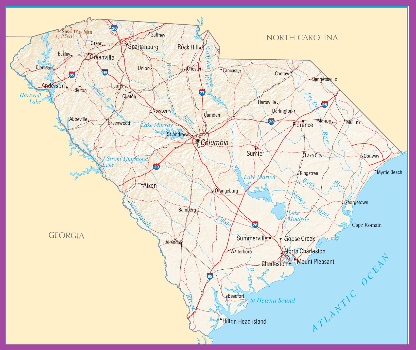
South Carolina Political Map | Large Printable High Resolution and Standard Map
Georgia Capital Map | Large Printable and Standard Map 12