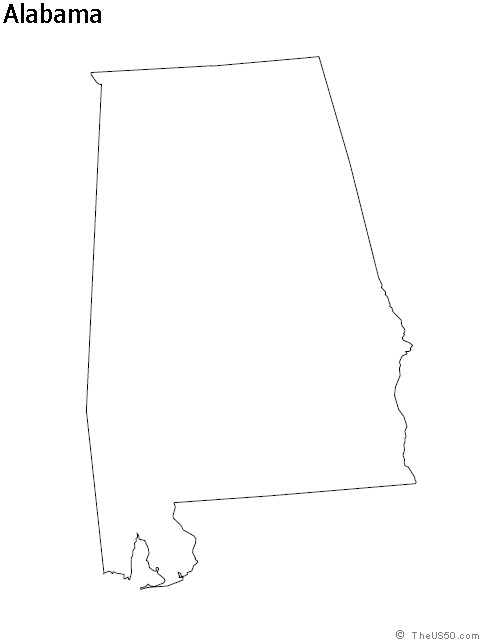
New Jersey Blank Outline Map | Large Printable HD Map

New Jersey Blank Outline Map | Large Printable HD Map is the Map of New Jersey. You can also free download Map images HD Wallpapers for use desktop and laptop. Click Printable Large Map
New Jersey is one of the 50 US federal states. It is located in the Mid-Atlantic region of the Northeastern United States. Map of New Jersey is the fourth-smallest in the country with covering an area of 8,722.58 square miles. With a population of 8.8 million people, It is the 11th-most populous state in the country. The state shares border with New York, Pennsylvania, the Atlantic Ocean, and Delaware.
New Jersey Facts
- Country: United States
- State: 18 December 1787
- Counties: 21
- Capital: Trenton
- Motto: Liberty and prosperity
- Largest City: Newark
- Largest Metro: Greater New York
- Land Area: 8,722.58 sq mi (22,591.38 km2)
- Population: 8,791,894
- State Forests: 11
- State Parks: 42
Geography Map of New Jersey shares borders with the State of New York in the north and northeast, Delaware Bay and Delaware on the southwest, and Pennsylvania in the west across the Delaware River. It also shares borders with the Atlantic Ocean On the east, southeast, and south. The highest point in the state is “High Point” with 549.6 m (1,803 ft). It is located in the northern corner of New Jersey.
The state capital is Trenton and the largest city is Newark (pop. 281,000). The largest cities in New Jersey are Newark (277,000), Jersey City (248,000), Paterson (147,000), Elizabeth (125,000).
Other Cities and Townships:
Asbury Park, Atlantic City, Bridgetown, Camden, Cape May, Freehold, Glassboro, Hammonton, Lakewood, Long Branch, Millville, Mt Holly, New Brunswick, Ocean City, Passaic, Phillipsburg, Salem, Toms River, Trenton, Vineland, and Wildwood.


