Texas Cities Map | Large Printable High Resolution and Standard Map

Texas Cities Map | Large Printable High Resolution and Standard Map is the Map of Texas. You can also free download Map images HD Wallpapers for use desktop and laptop. Click Printable Large Map
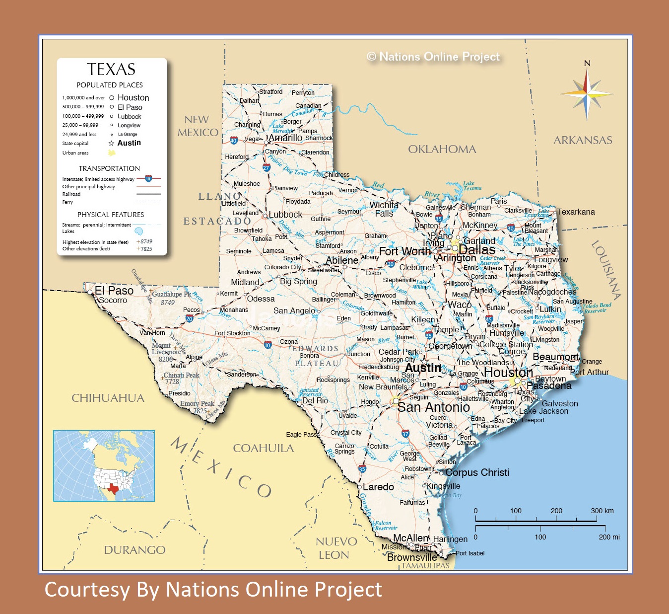
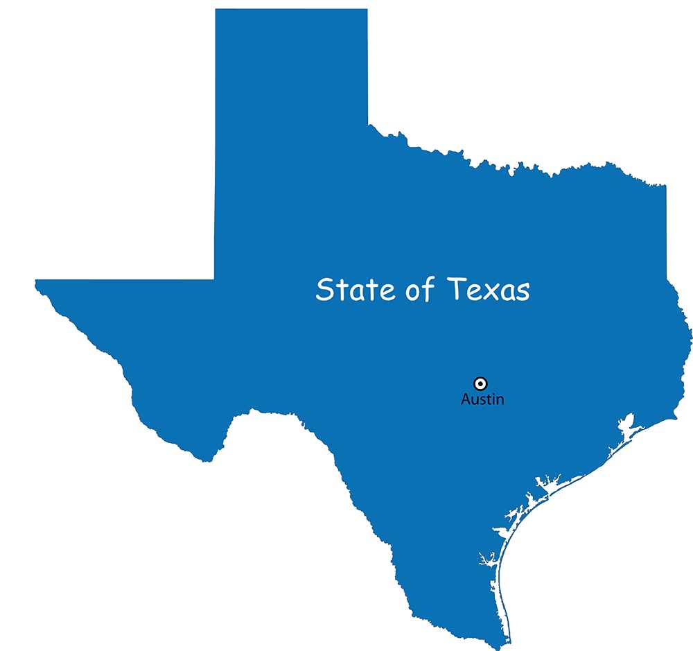
Texas is one of the 50 US states and it is located in the south-central part of the country. It covers an area of 268,581 square miles. The state shares borders with the states of Louisiana, Arkansas, Oklahoma, New Mexico, and the Mexican states of Chihuahua, Coahuila, Nuevo León, and Tamaulipas. it features a 560 km (350 mi) long coastline on the Gulf of Mexico in the southeast. Austin is the state capital of Texas while Houston is the most populous city in Texas City Map.
Houston is a major US city. It has an estimated population of over 2 million. Houston is located in the southeastern part of Texas, not far from the Gulf of Mexico. San Antonio is the second-most populous city in Texas. The third-largest city in Texas is Dallas. Combined with nearby Fort Worth, the metropolitan area is the fourth largest in the country. Dallas/Fort Worth International Airport is also, interestingly, the fourth largest in the world.
Texas Map Facts
| Area | 268,820 sq. mi (696,241 sq. km) |
| Population | 27.86 million (2016) |
| Capital | Austin |
| Largest City | Houston |
| Time Zone | Most of the state is in the Central: UTC 6/5, Tip of West Texas: Mountain: UTC 7/6 |
| Highest Point | Guadalupe Peak |
| Lowest Point | Gulf of Mexico |
| Official Website | www.texas.gov |
Major Cities Of the State

Abilene, Albany, Alice, Alpine, Amarillo, Andrews, Angleton, Anson, Arlington, Aspermont, Athens, Austin, Ballinger, Bay City, Baytown, Beaumont, Beeville, Big Spring, Bonham, Borger, Bowie, Brady, Brownfield, Brownsville, Corpus Christi, Dallas, Del Rio, Denton, Dumas, Eagle Pass, Eden, EdnaVictoria, El Paso, Ennis, Fairfield, Falfurrias, Floydada, Fort Stockton, Fort Worth, Garland, Houston, Huntsville, Irving, Killeen, Kingsville, La Grange, Lake Jackson, Lamesa, Lampasas, Laredo, Levelland, Littlefield, Livingston, Longview, Lubbock, McAllen, McCamey, McKinney, Mexia, Midland, Odessa, Orange, Ozona, Paducah, Palacios, Palestine, Pampa, Paris, Pasadena, Pecos, Perryton, Pharr, Plainview, Plano, San Antonio, Tahoka, Temple, Texarkana, Texas City, The Woodlands, Tyler, Uvalde, Van Horn, Vega, Vernon, Waco, Wharton, Wichita Falls, and Woodville.
Map of Texas | Political, County, Geography, Transportation, And Cities Map
Texas Transportation And Physical Map | Large Printable Map