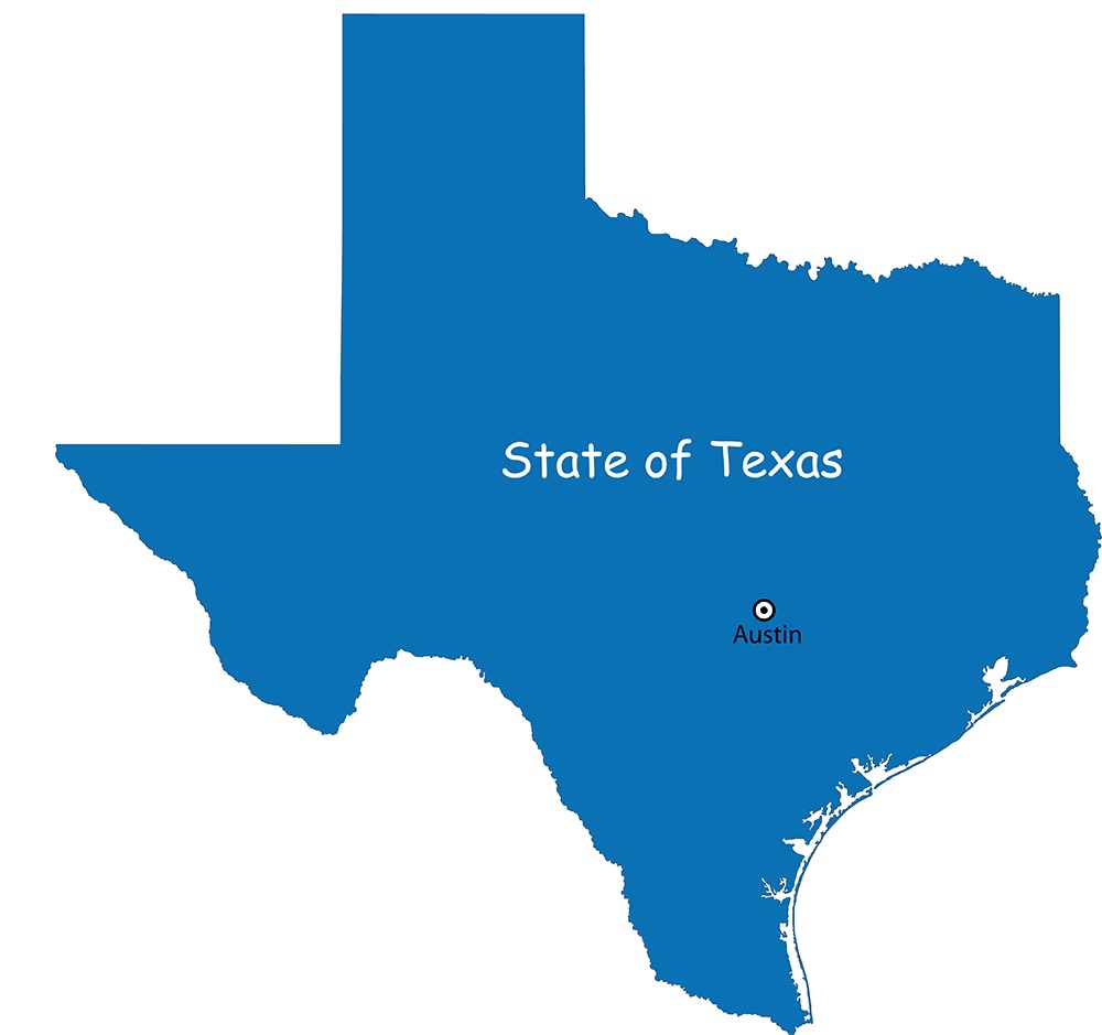
Texas Details Map | Large Printable High Resolution and Standard Map

Texas Details Map | Large Printable High Resolution and Standard Map is the Map of Texas. You can also free download Map images HD Wallpapers for use desktop and laptop. Click Printable Large Map
Texas is one of the 50 US states in the South Central Region of the United States. It is the 2nd largest US state by both area and population. Texas Details Map covers an area of 268,581 square miles with a population of 28.9 million (2019 est.). The state shares borders with the states of Louisiana, Arkansas, Oklahoma, New Mexico, and the Mexican states of Chihuahua, Coahuila, Nuevo León, and Tamaulipas. it features a 560 km (350 mi) long coastline on the Gulf of Mexico in the southeast.
Texas Map Quick Facts
- Capital: Austin
- Population: 28 million
- Nickname: The Lone Star State
- Key Cities: Houston, Dallas, Austin, San Antonio, Fort Worth, El Paso
- Size: 268,597 sq. miles
- Lowest point: the Gulf of Mexico at sea level
- Highest point: Guadalupe Peak at 8,749 feet
- Counties: 254

The County Map of Texas is divided into 254 counties more than any other U.S. state. Brewster County is the largest county in the state with an area of 6,192 sq mi (16,040 km2). Rockwall County has the smallest area of any Texas county.
Geography Map of Texas includes deserts, cave systems, mountains, canyons, forests, and the Rio Grande, a river that forms the border between Texas and Mexico.
Major Geographical Regions of Texas
- Gulf Coastal Plains
- Coastal Prairies
- Piney Woods
- Rio Grande Plain and the Lower Rio Grande Valley
- Interior Lowlands (aka the North Central Plains)
- The Great Plains
- The Basin and Range Province
Texas Capital Map | Large Printable High Resolution and Standard Map
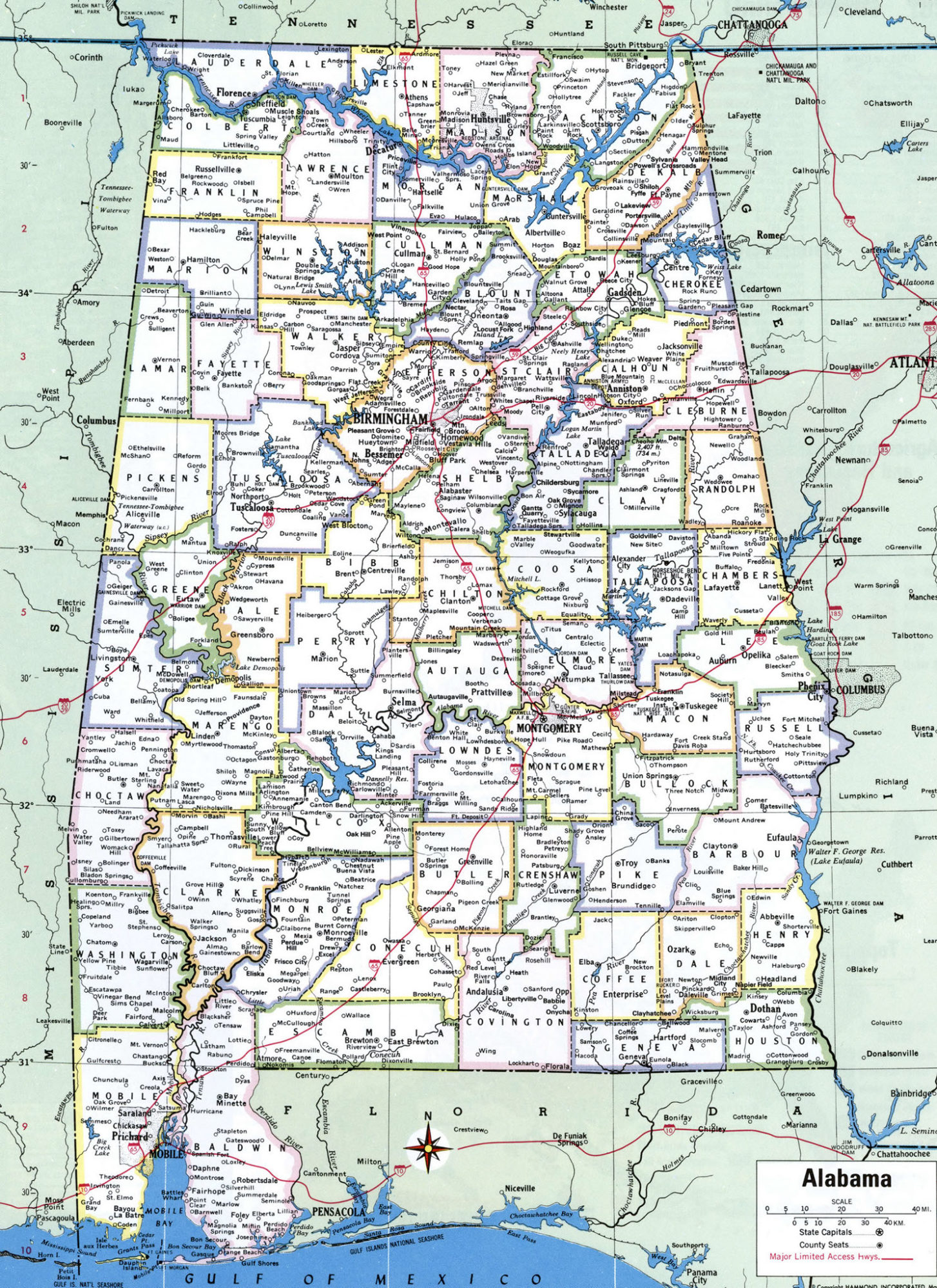
Alabama Large Political Map Political Map of Alabama With Capital , city and River lake-7