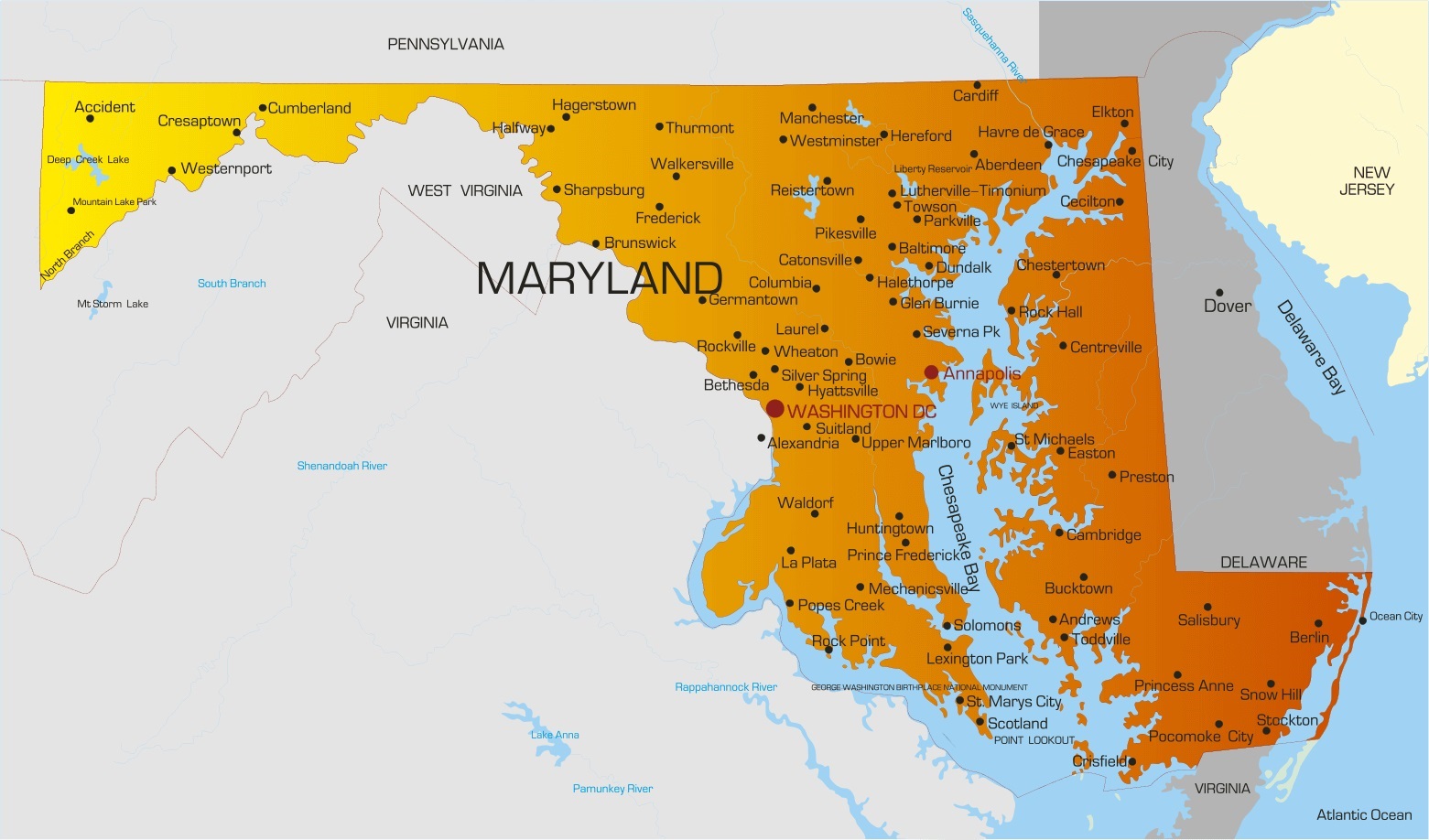
Virginia Cities Map | Large Printable High Resolution and Standard Map

Virginia Cities Map | Large Printable High Resolution and Standard Map is the Map of Virginia. You can also free download Map images HD Wallpapers for use desktop and laptop. Click Printable Large Map
Virginia is a US state in the Southeastern and Mid-Atlantic regions of the country. It is located between the Atlantic Coast and the Appalachian Mountains. It is the 35th largest state in the USA with covering an area of 110,787 km² (42,775 sq mi). With a population of about 8.5 million people (2019 est.), It is the 12th most populous state. The state’s capital is Richmond while the largest city in the Virginia City Map is Virginia Beach (pop. 453,000).
Virginia’s thirty-eight incorporated cities are politically and administratively independent of the counties with which they share borders, just as counties are politically and administratively independent of each other.
- Date of Statehood: June 25, 1788
- Capital: Richmond
- Population: 8,001,024 (2010)
- Size: 42,775 square miles
- Nickname(s): Old Dominion; Mother of States; Mother of Statesmen; Cavalier State
- Motto: Sic Semper Tyrannis (“Thus Always to Tyrants”)
- Tree: American Dogwood
- Flower: American Dogwood
- Bird: Northern Cardinal
Virginia Cities And Counties

10 Largest Cities in Virginia
- Virginia Beach (450,224)
- Chesapeake (249,787)
- Norfolk (241,056)
- Arlington (233,464)
- Richmond (232,866)
- Newport News (180,629)
- Alexandria (160,146)
- Hampton (134,870)
- Roanoke (99,411)
- Suffolk (94,374)
Other cities and towns in Virginia:
Abingdon, Arlington, Blacksburg, Bluefield, Bristol, Buena Vista, Charlottesville, Chester, Chincoteague, Clifton Forge, Covington, Lexington, Luray, Lynchburg, Monterey, Norton, Onancock, Petersburg, Portsmouth, Pulaski, Radford, Reedville, Suffolk, Tappahannock, Warrenton, Waynesboro, Williamsburg, Winchester, and Wytheville.


