Blank World Map | Large Printable World Map

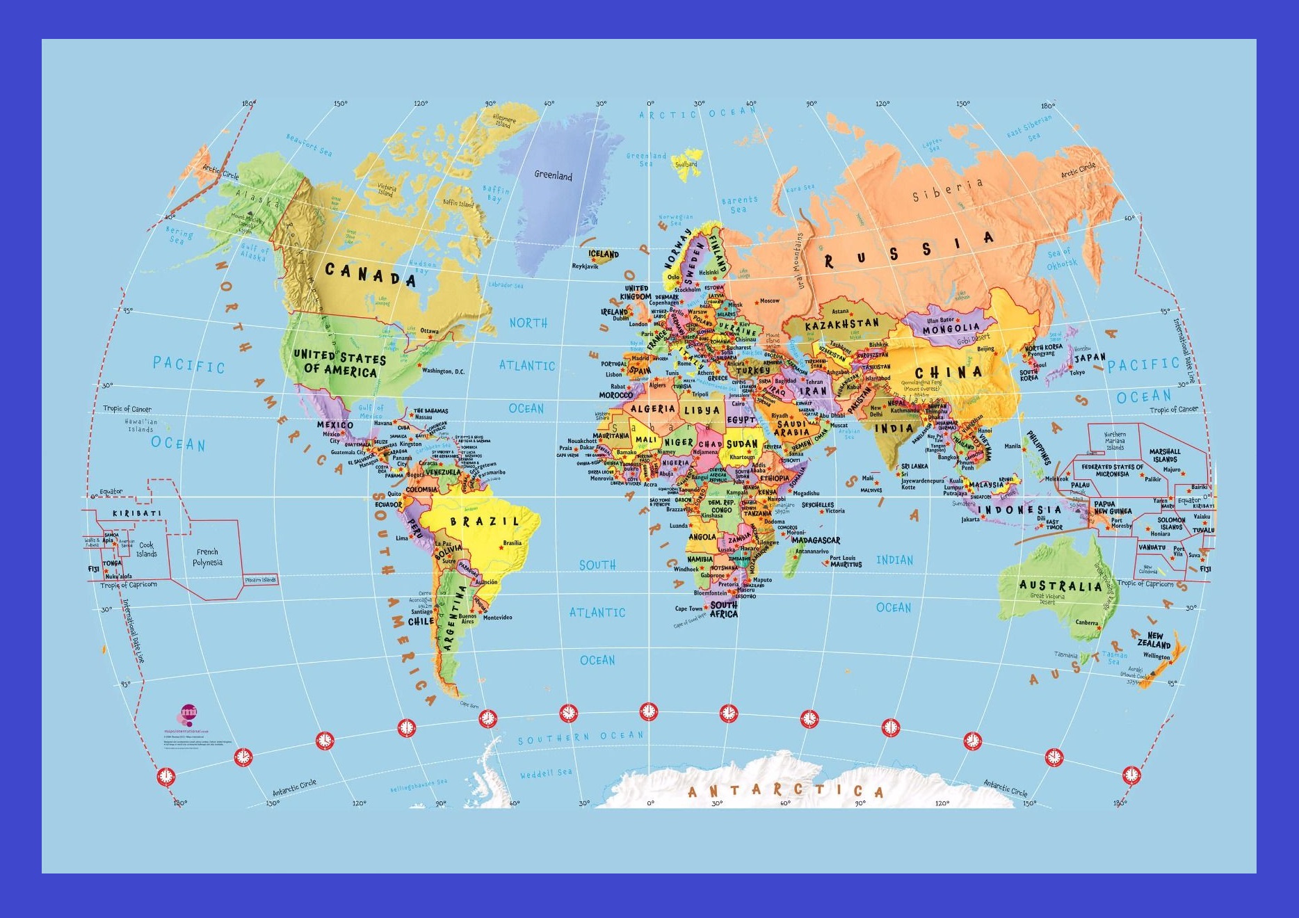
A map is a symbolic depiction that denotes relationships between elements of some space such as objects, regions, and themes. A map tells you where you’ve been, where you are, and where you’re going – in a sense, it’s three tenses in one. The Blank World Map displays all the continents, countries, areas, and borders of the world as well as all the oceans. The map also has a compass that shows the direction and the position of the North Pole.
Latitudes and Longitudes are marked across to accurately find the position of any place on the map. This Blank World Map is a useful resource for school children who wish to learn about the various aspects of world geography. Moreover, this world map is a useful aid for teachers and parents as well.
As per estimation, only one-eighth of Earth’s surface is appropriate for the habitation of human beings. According to the Outline Map of World, oceans cover three-quarters of the earth’s surface, and the remaining one-quarter of the land is either desert (14%), high mountains (27%), or other unsuitable terrains. Alert, in the Qikiqtaaluk Region, Nunavut, Canada is the northernmost permanent settlement at lat (82° 28’N). Amundsen-Scott South Pole Station, in Antarctica, is the southernmost point suitable for living, at lat (90°S).
Blank World Map | Large Printable World Map. You can also free download Map images HD Wallpapers for use desktop and laptop.
The World Map | Large Printable And HD
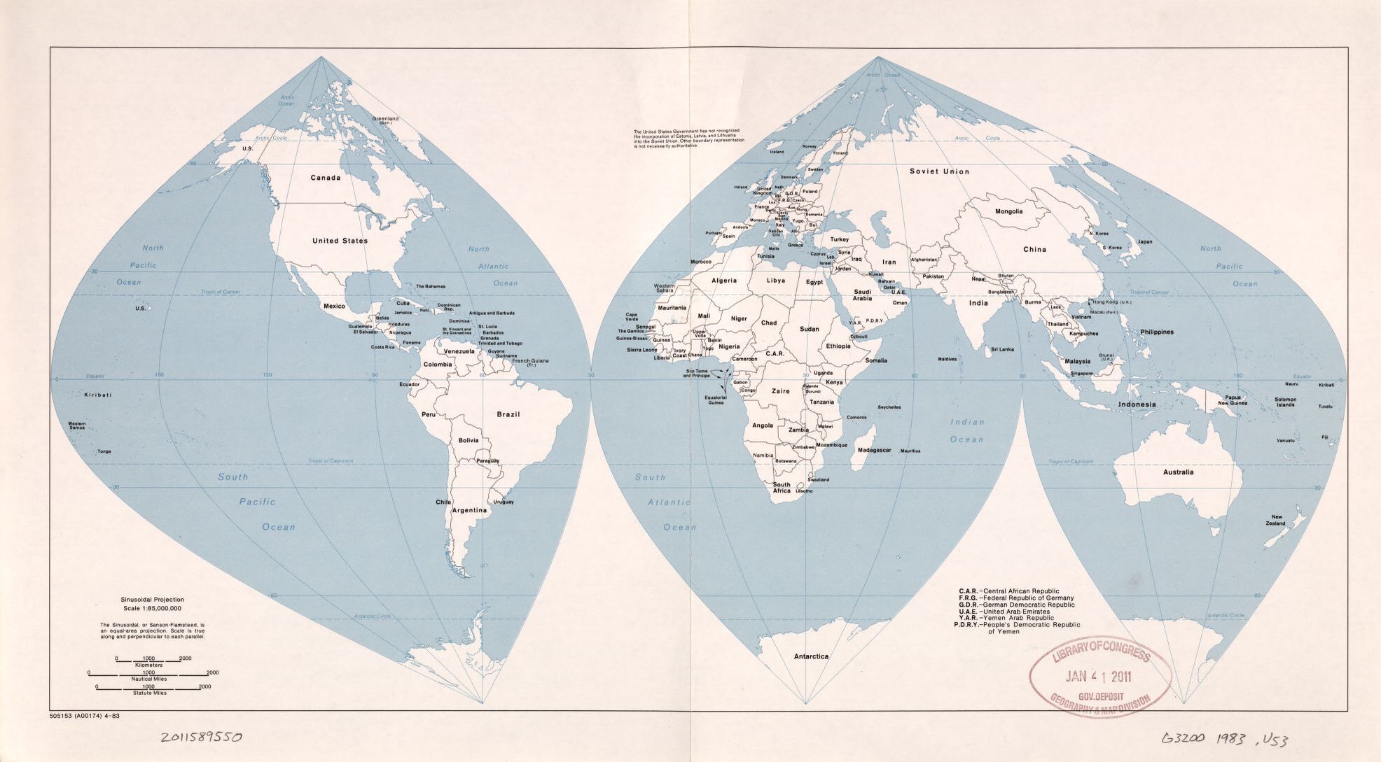
The World Political Map | February 1983 | Large, Printable Downloadable Map