Georgia County Map | Large Printable and Standard Map

Georgia County Map | Large Printable and Standard Map is the Map of Georgia state. You can also free download Map images HD Wallpapers for use desktop and laptop. Click Printable Large Map
The Georgia county map is divided into 159 counties. It is the 2nd most county except for Texas, which has 254 counties. All of its counties have a free rule system Under the Georgia State Constitution to deal with problems that are purely local in nature. Some of the prominent counties are Barrow County, Decatur County, Bartow County, Murray County, Cook County, Fulton County, Wilcox County, and Lamar County among others.
In terms of area, Ware County is the largest county in Georgia. It has an area of 908 square miles (2,350 km2), of which 892 square miles is land and 16 square miles is water. As of the 2010 census, the population was 36,312. The county seat is Waycross. Fulton County is the state’s most populous county and is the only one with over 1 million inhabitants. As of 2019 estimates, the population was 1,063,937.
All Counties of Georgia

Georgia Counties by Population
| Rank | County | Population |
|---|---|---|
| 1 | Fulton County | 1,036,200 |
| 2 | Gwinnett County | 915,046 |
| 3 | Cobb County | 751,218 |
| 4 | DeKalb County | 749,323 |
| 5 | Chatham County | 288,496 |
| 6 | Clayton County | 283,538 |
| 7 | Cherokee County | 247,515 |
| 8 | Forsyth County | 228,383 |
| 9 | Henry County | 225,356 |
| 10 | Richmond County | 201,852 |
| 11 | Hall County | 198,667 |
| 12 | Muscogee County | 195,739 |
| 13 | Paulding County | 159,825 |
| 14 | Houston County | 153,507 |
| 15 | Bibb County | 153,200 |
✅What County is the Best to Live in Georgia?
- Oconee County.
- Forsyth County.
- Cobb County.
✅Whats the Safest County in Georgia?
The small city of Holly Springs in Cherokee County earns the title of Georgia’s safest. Holly Springs’s violent crime rate of 1.03 per 1K and property crime rate of 12.36 per 1K is considerably below both national and state averages.
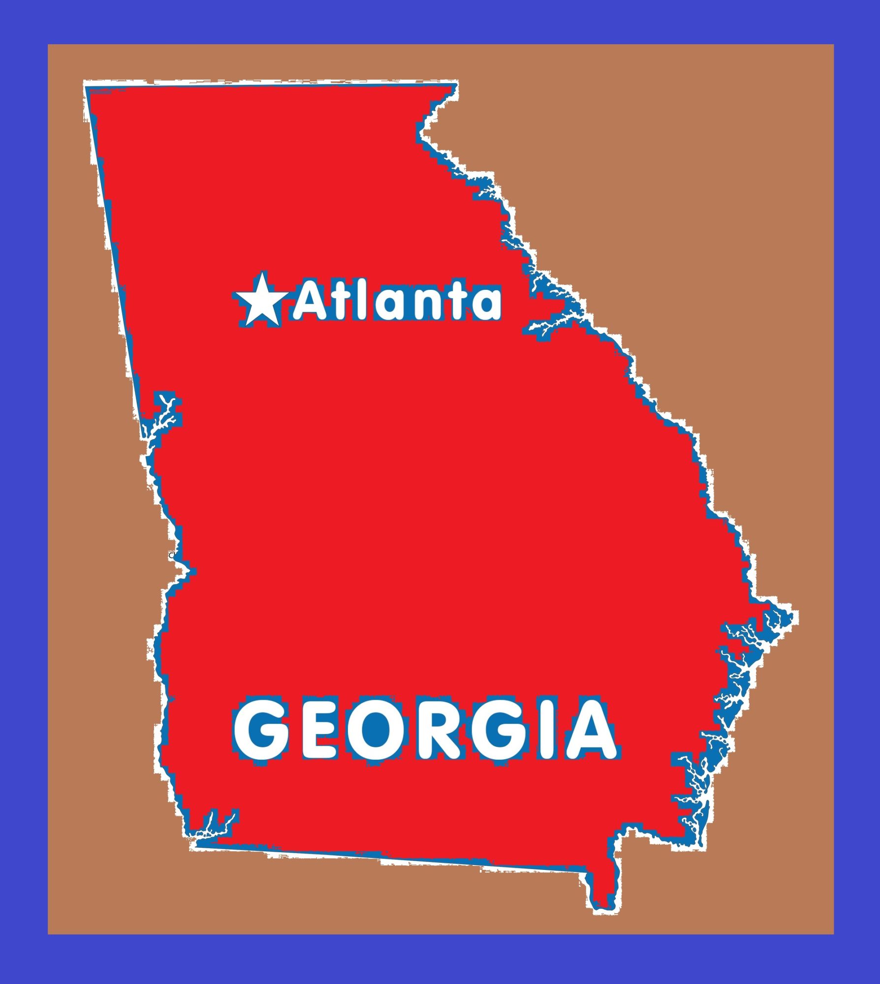
Georgia Capital Map | Large Printable and Standard Map 9
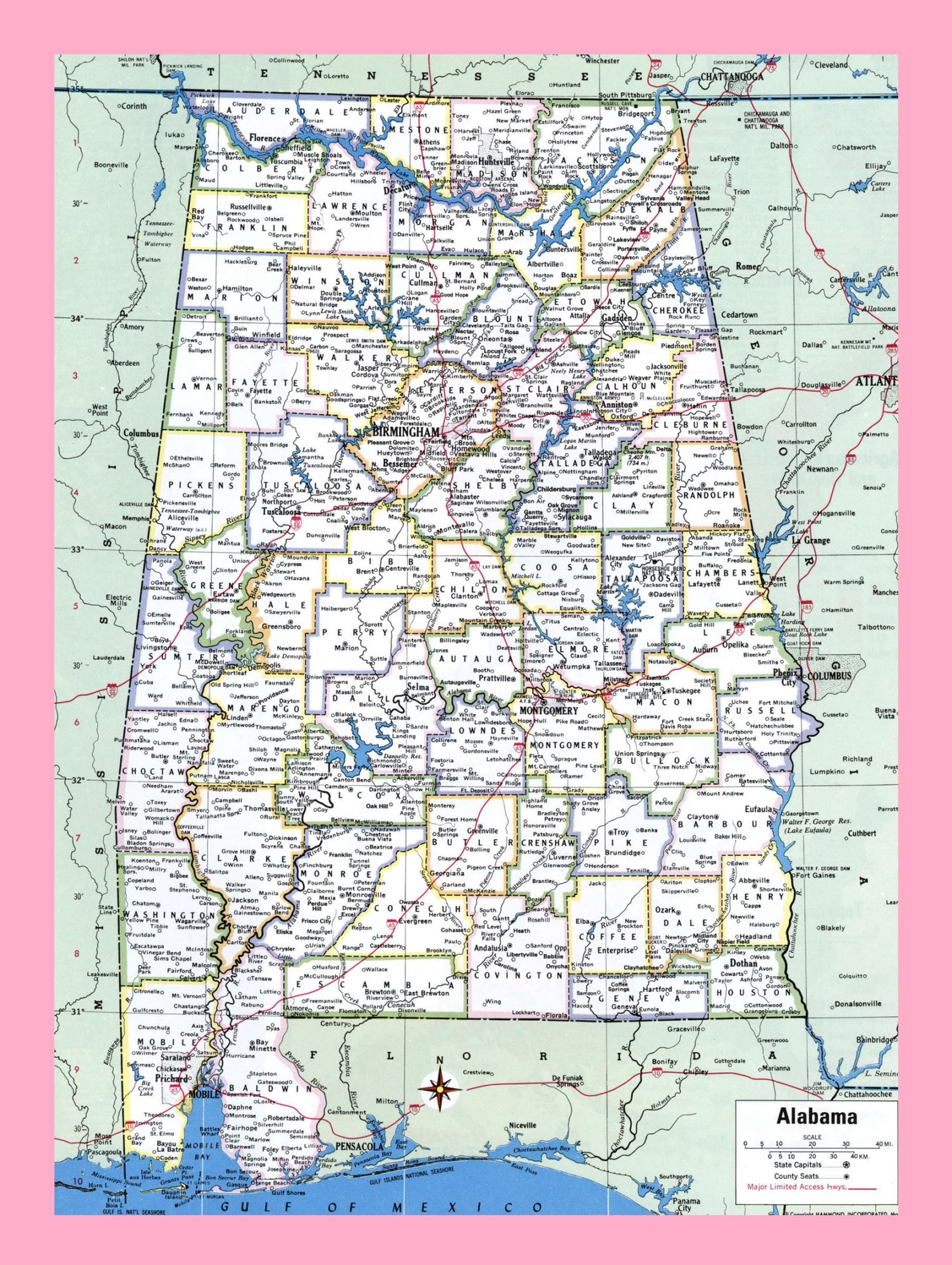
Alabama Large Detailed Map | Detailed Map of Alabama