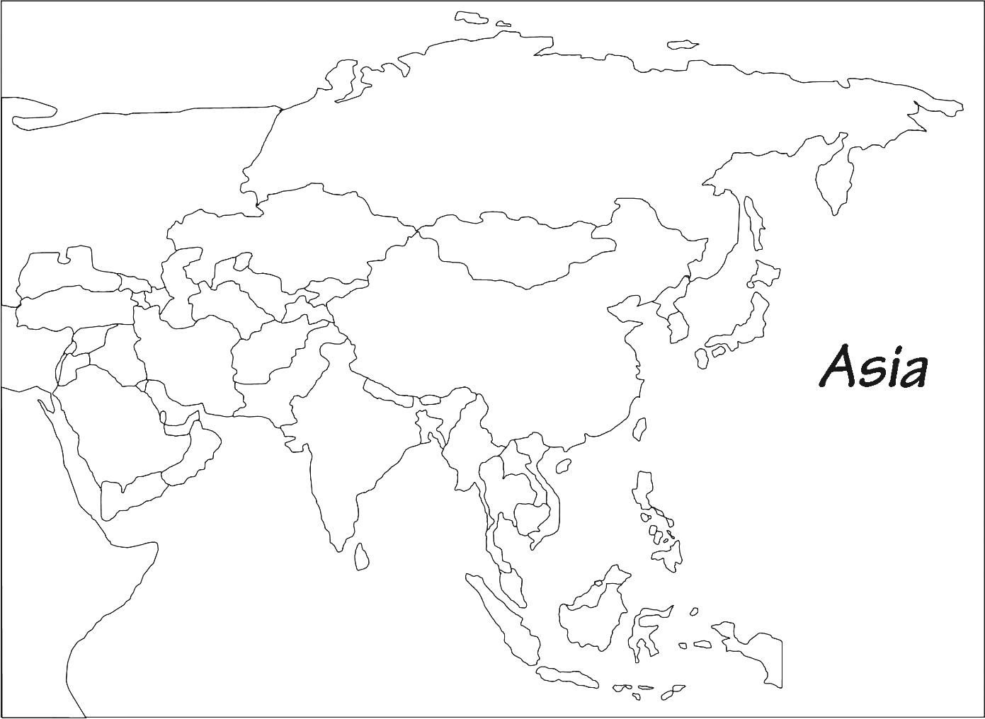
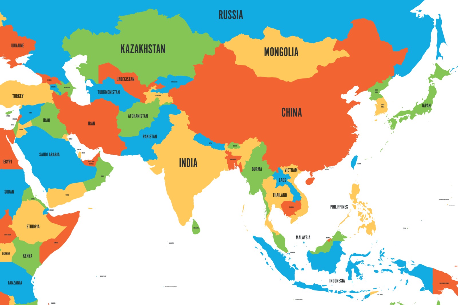
Physical Map of Asia | Asian Geography Map

Asia is the largest and most Popular continent in the world. Physical Map of Asia covers approximately 9% of the Earth and 30 percent of the Earth’s land area. It is located in the northern hemisphere but few islands extend in the southern hemisphere.
Asia is bordered by the Suez Canal on its east, surrounded by the Ural Mountains, and has the Caucasus Mountains to its south. Asia also has the Caspian and Black Seas. The Pacific Ocean touches its shores on the eastern side, with the Indian Ocean on the southern end and the Arctic Ocean on the north. Asian continent consists of 48 countries.
Asia Geography Map is extremely different in terms of its climates and geographic features. The Southwestern part of Asia remains hot throughout the year. On the other hand, Siberia is the coldest place in the Northern Hemisphere. Asia also features the most dangerous tropical-cyclone-prone areas on Earth: the Philippines and south of Japan.
Three Regions of Asia are Dry: The Mongolian Gobi Desert and the Arabian Desert of the Middle. The river map of Asia features the Yangtze River in China which is the longest river in Asia. The tallest mountain on the earth is also located in Asia which is The Himalayas, stretching from Nepal to China. The tropical rainforests are spread across most of southern Asia and coniferous and deciduous forests lie farther north.
Major Physical Regions of Asia

Mountain Ranges:
- Himalayas: The undisputed crown jewels, cradling glaciers, sheltering lush valleys, and towering above the clouds. Mount Everest, the world’s highest peak, sits proudly amidst this colossal range.
- Tian Shan: Stretching across Central Asia, these mountains offer breathtaking vistas of snow-capped peaks and rugged gorges.
- Altai Mountains: Home to ancient forests, vibrant alpine meadows, and crystal-clear lakes, these mountains paint a picturesque landscape in Siberia.
- Caucasus Mountains: Forming a natural barrier between Europe and Asia, these mountains offer diverse terrains, from lush forests to arid steppes.
Plateaus and Deserts:
- Tibetan Plateau: Often called the “Roof of the World,” this vast plateau sits high above sea level, boasting unique ecosystems and breathtaking scenery.
- Iranian Plateau: Home to arid deserts and ancient civilizations, this plateau offers rugged beauty and historical significance.
- Arabian Desert: Stretching across much of the Arabian Peninsula, this vast desert is known for its immense sand dunes, towering mountains, and harsh beauty.
- Gobi Desert: One of the world’s largest deserts, the Gobi showcases diverse landscapes, from sand dunes and rocky outcrops to rolling grasslands.
Rivers and Lakes:
- Yangtze River: The longest river in Asia, the Yangtze snakes through China’s heartland, nourishing civilizations and offering awe-inspiring gorges and scenic river cruises.
- Ob-Irtysh River System: Forming one of the longest river systems in the world, this network traverses Siberia, providing vital transportation and fertile floodplains.
- Amur River: Flowing along the Russia-China border, the Amur River boasts dense forests, diverse wildlife, and historical significance.
- Caspian Sea: The world’s largest lake by surface area, this endorheic body of water sits between Europe and Asia, offering unique ecosystems and cultural significance.
Region And Countries of Asia

1. West Asia Physical Map
West Asia is located in the area between Central Asia and Africa, south of Eastern Europe. It has 19 Countries: Georgia, Armenia, Azerbaijan, Turkey, Cyprus, Syria, Lebanon, Israel, Palestine, Jordan, Iraq, Iran, Kuwait, Bahrain, Qatar, Saudi Arabia, United Arab Emirates, Oman, and Yemen. It also includes the Sinai Peninsula of Egypt.
2. Southeast Asia Physical Map
Southeast Asia is located north of Australia, south of East Asia, west of the Pacific Ocean, and east of the Bay of Bengal. It has 15 countries and territories: Brunei, Cambodia, Indonesia, Laos, Malaysia, Myanmar, Philippines, Singapore, Thailand, Timor Leste, Vietnam, Christmas Island, Cocos Islands.
3. South Asia
South Asia Features 8 autonomous countries: Sri Lanka, Bangladesh, India, Afghanistan, Pakistan, Bhutan, Nepal, and the Maldives.
4. East Asia
East Asia features 8 countries and regions: China, Mongolia, North Korea, South Korea, Japan, Hong Kong, Taiwan, and Macau. Today, East Asia is believed to have some of the most advanced technologies in the world, which fosters economic development.
5. Central Asia
Central Asia is west of China, south of Russia, and north of Afghanistan. It has 5 countries: Tajikistan, Uzbekistan, Kazakhstan, Turkmenistan, and Kyrgyzstan. The Region played an important role in the transportation of goods between China and Europe during the Silk Road trading era.
Physical Map of Asia | Asian Geography Map. You can also free download Map images HD Wallpapers for use desktop and laptop.


