Hawaii Transportation And Physical Map Large Printable

Hawaii Transportation And Physical Map Large Printable is the Map of Hawaii. You can also free download Map images HD Wallpapers for use desktop and laptop. Click Printable Large Map
Explore Hawaii Transportation And Physical Map With Major Cities, Other Cities, and the State capital.
Hawaii is part of the United States located in the central Pacific Ocean. It is located about 3,200 kilometers (2,000 miles) from the continental United States and the only US States located outside of North America.
According to Physical Map of Hawaii, It is the 43rd largest state of the USA with an area of 10,931 square miles and comprised 1,428,557 people, which made it the 40th most populous state of the country. Honolulu is the capital of Hawaii.
Hawaii is an island state and it does not share any borders with other states or countries. Hawaii is made up of eight main islands: Hawaii, Maui, Oahu, Kahoolawe, Lanai, Molokai, Kauai, Niihau.
For Being Island, Hawaii Transportation Map is Depend On Airport Called Honolulu International Airport (HNL). It is the only gateway for connected with the outer world.
About Hawaii:
Location: an archipelago in the mid-Pacific
Capital: Honolulu
Largest city: Honolulu
Other important cities: Hilo, Kāneʻohe, Kailua
Islands: Niihau, Kauai, Oahu, Molokai, Lanai, Kahoolawe, Maui, and Hawaii.
Highest Point: Mauna Kea (4205 m, 13795 ft)
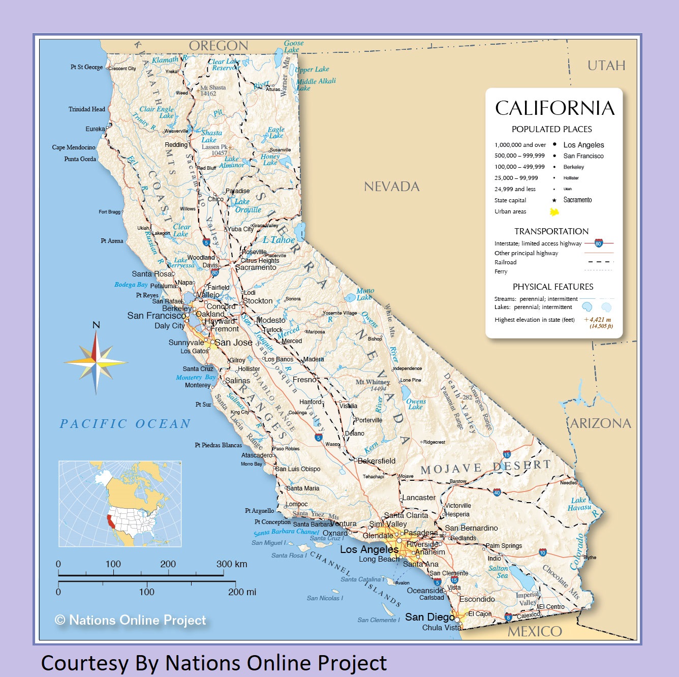
California Transportation and physical map large printable
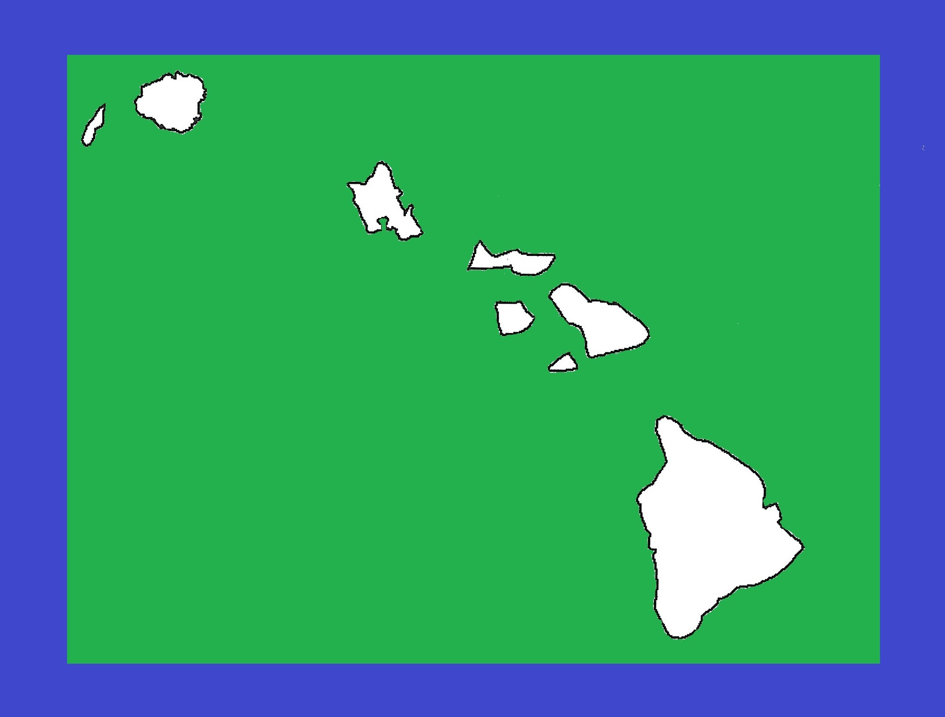
Hawaii Blank Outline Map | Large Printable and Standard Map 9
| « Transportation And Physical Map of Georgia | Large Printable Map | Idaho Transportation And Physical Map | Large Printable Map » | |


