Pennsylvania Transportation And Physical Map | Large Printable Map

Pennsylvania Transportation And Physical Map | Large Printable Map is the Map of Pennsylvania. You can also free download Map images HD Wallpapers for use desktop and laptop. Click Printable Large Map
The Pennsylvania Transportation Map features 39,861 miles (64,150 km) of the 121,770 miles (195,970 km) of roadway in the state. It is the fifth-largest state highway system in the United States. All Interstate highways are I-70, I-76, I-78, I-79, I-80, I-81, I-83, I-84, I-86, I-90, I-95, I-99, I-176, I-276, I-376, I-476, I-576, I-676, I-279, I-579, I-178, I-378, I-180, I-380, I-283, I-295.
The largest airport in the state is Philadelphia International Airport. Other major international airports are
Pittsburgh International Airport, Harrisburg International Airport, and Allentown’s Lehigh Valley International Airport.
Pennsylvania is located in the Northeastern, Great Lakes, Appalachian, and Mid-Atlantic regions of the United States. It is the 33rd-largest state With an area of 119,279 km² (46,054 sq mi). The state shares border with Delaware, Maryland, West Virginia, Ohio, New York, New Jersey, and the Canadian province of Ontario. Mount Davis in the Forbes State Forest is the highest point of the state 3212 feet (979 meters) height.
The Major region on the Physical Map of Pennsylvania is Ridge and Valley, the Atlantic Coastal Plain, the Allegheny Plateau, Piedmont, and the Erie Plain. The state has 51 miles (82 km) of coastline along Lake Erie and 57 miles (92 km) of shoreline along the Delaware Estuary. Major rivers in Pennsylvania Allegheny River, Monongahela River, Ohio River, Delaware River.
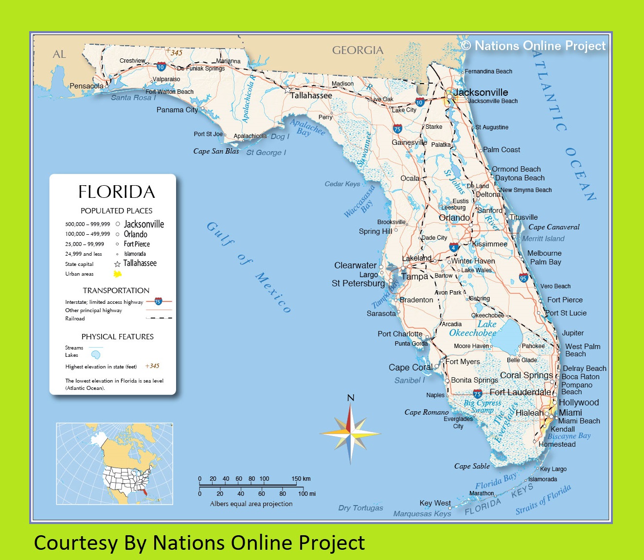
Transportation and Physical Map of Florida | Large, Printable Map
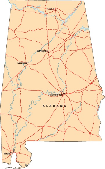
Alabama Labeled Map | Labeled Map of Alabama, Large Printable
| « Oregon Transportation and physical map large printable | Rhode Island Transportation and physical map large printable » | |


