South Carolina Transportation and physical map large printable

South Carolina Transportation and physical map large printable is the Map of South Carolina. You can also free download Map images HD Wallpapers for use desktop and laptop. Click Printable Large Map
South Carolina is a state in the southeastern United States. It is bordered by North Carolina on the north, Georgia on the southwest, and the Atlantic Ocean on the southeast.
The state is almost flat, except for the northeastern corner, that reaches into the Blue Ridge Mountain Ranges, with the highest point of Sassafras Mountain, that is 1085 meters (3,554 feet) above sea level. There are also some hilly regions in the central part of the state, Sand Hills and Piedmont, with a couple of rivers running through them to empty their water into the Atlantic, amongst which the Pee Dee River, the Santee River, and the Savannah River are the most important ones.
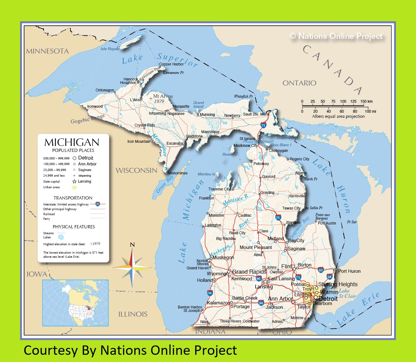
Michigan Transportation And Physical Map | Large And Printable Map
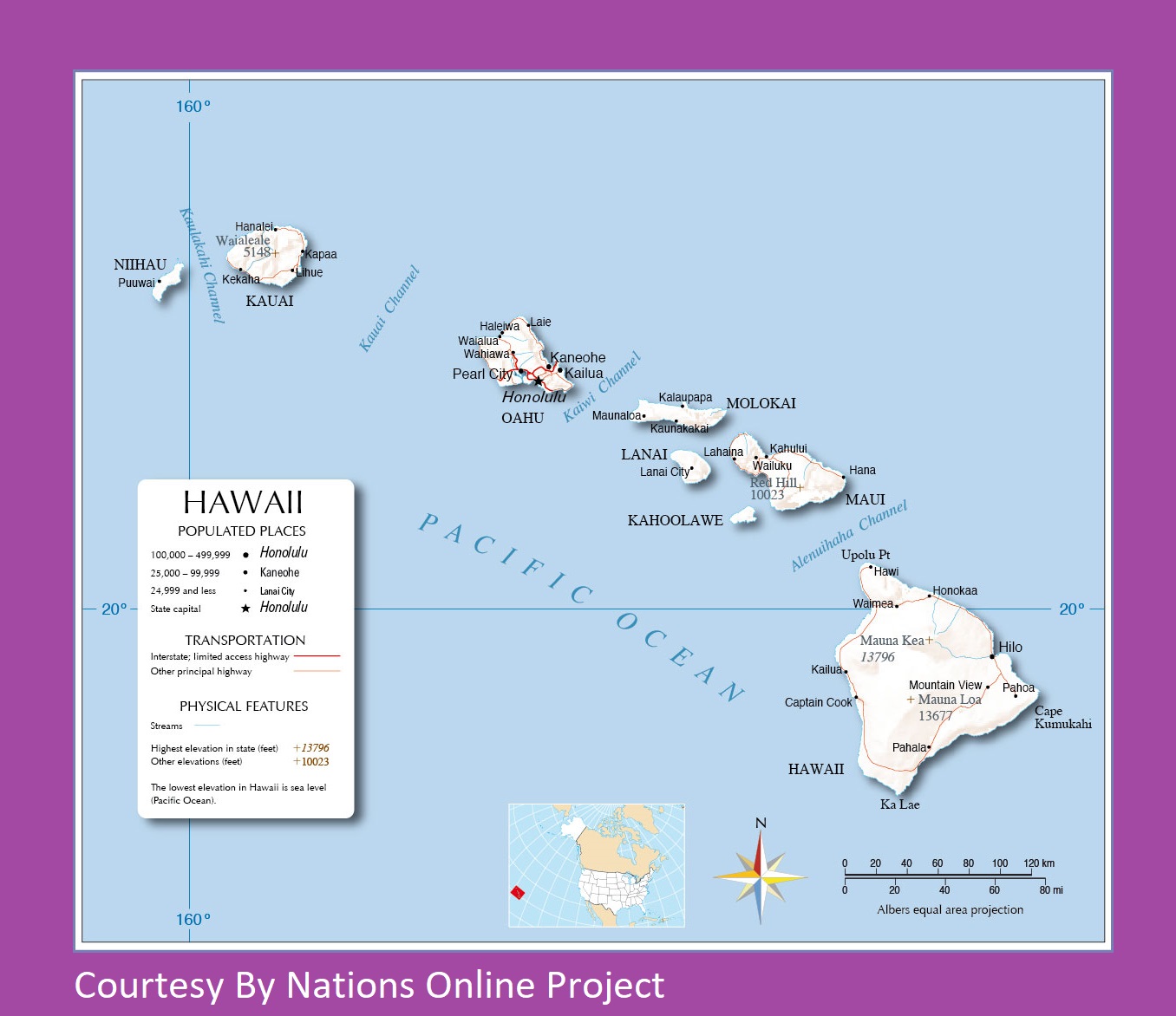
Hawaii Transportation And Physical Map Large Printable
| « Rhode Island Transportation and physical map large printable | South Dakota Transportation and physical map large printable » | |


