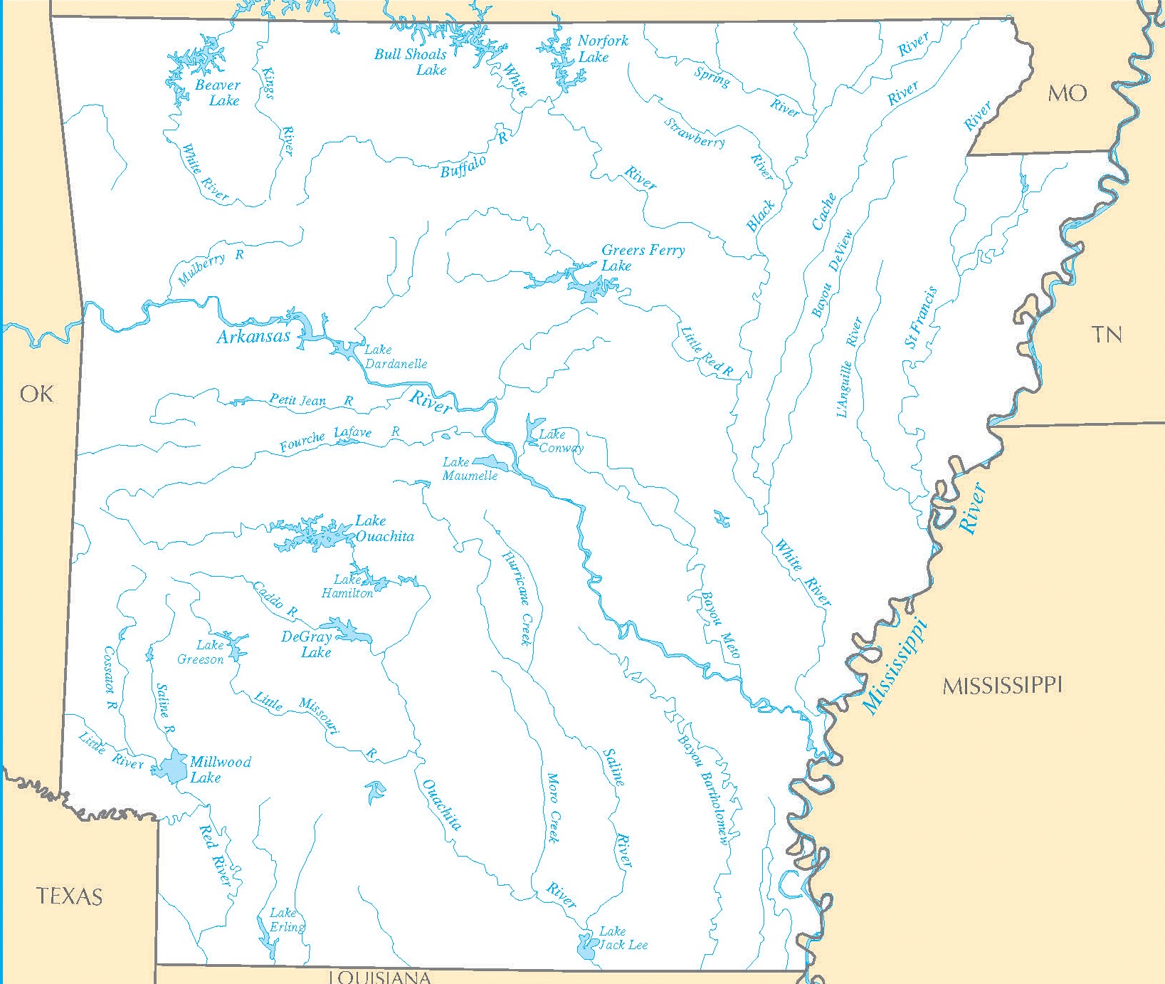
Arkansas Transportation and physical map large printable

Arkansas Transportation and physical map large printable is the Map of Arkansas. You can also free download Map images HD Wallpapers for use desktop and laptop. Click Printable Large Map
Arkansas is located in the southern central part of the United States. The Mississippi River flows by the eastern edge of the state, being fed by the White River, Arkansas River, Ouachita river from the west.
The Ozark Plateau occupies the northwestern part of the state, with the Boston Mountains stretching between the valleys of the White and the Arkansas rivers. The Ouachita mountains lie further to the south. The highest peak is Magazine Mount at 839 meters above sea level.
| « Arizona Transportation And Physical Map | Large, Printable Map | California Transportation and physical map large printable » | |


