North Dakota Transportation and physical map large printable

North Dakota Transportation and physical map large printable is the Map of North Dakota. You can also free download Map images HD Wallpapers for use desktop and laptop. Click Printable Large Map
North Dakota is a state of the United States located in the northern regions of the country, south of the Canadian border, between Montana and Minnesota. The landscape rises from the east towards the west.
The Red River Valley on the eastern part is the lowest-lying region of the state, the Red River itself marks the eastern border. The central regions reach higher elevations with the Missouri Plateau, the Turtle Mountains, and the Drift Prairie. The Missouri river enters the state on the western side, flows through the central regions, then leaves the state at the southern side. It flows through two artificial lakes, the Lake Sakakawea (third largest man-made lake in the whole United States) and Lake Oahe (fourth-largest artificial reservoir of the U.S.). The Badlands in the southwestern corner of the state reach the highest elevations, with the Little Missouri River flowing through it towards Lake Sakakawea.
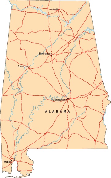
Alabama Labeled Map | Labeled Map of Alabama, Large Printable
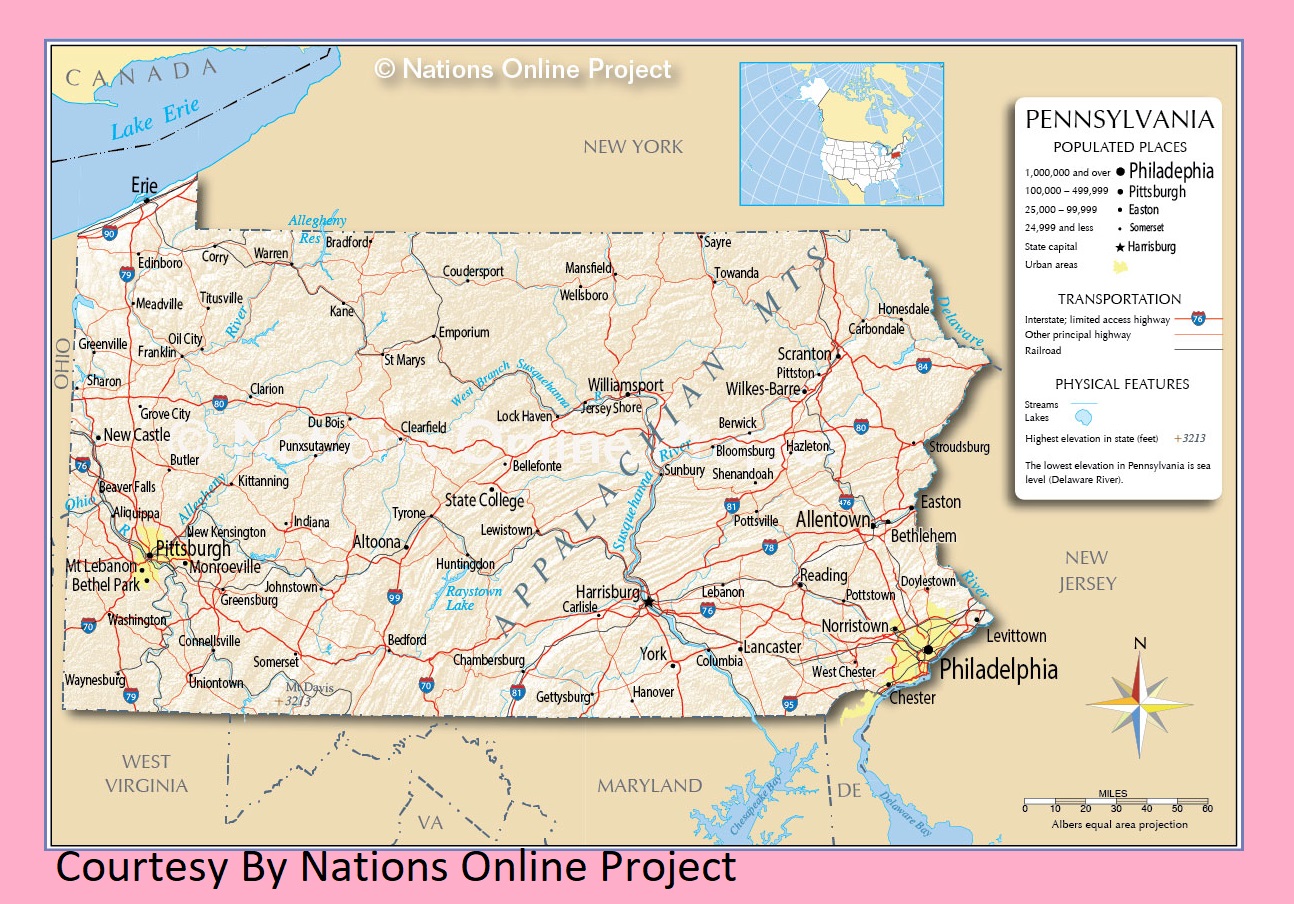
Pennsylvania Transportation And Physical Map | Large Printable Map
| « North Carolina Transportation and physical map large printable | Ohio Transportation And Physical Map | Large Printable HD Map » | |


